37 Rowson Street, Wallasey, CH45 5AS
About 37 Rowson Street
37 Rowson Street is a detached house in Wallasey (CH45 5AS). It has a recorded floor area of 170 m² (around 1830 sq ft), construction records dating it to before 1900 and council tax band D. The latest certificate (April 2019) shows an E (score 45), well below the UK norm with real room to improve. The recommended improvements would lift it to B (score 82), a 3-band jump.
At 170 m² the property is well over the postcode median (99 m² across 3 EPCs), placing it in the larger end of the local stock. Across 2005–2019, sale prices on this property compounded at -0.8% per year. Today's modelled estimate of £325,000 sits 66.7% above the 2019 sale of £195,000. On a £-per-square-foot basis, the last sale (£107/sq ft) was about 120.2% above the typical sold price in the postcode. Last sale on file: £195,000 in November 2019.
Everything you need to know about 37 Rowson Street
The true value, the hidden risks and the full sale history, in one report.
30-day money-back guarantee

The data behind every report


Energy performance
37 Rowson Street's carbon output runs well above what efficient homes in the postcode produce.
EPC Rating
Planning history
37 Rowson Street has no planning applications on record.
The full report still covers planning activity across the surrounding area.
Sales history & valuation
37 Rowson Street's sale-price growth has lagged the wider UK trajectory across its history on file.
£325,000
Modelled from EPC, postcode comparables and a sale-price growth of -0.8% per year over 14 years.
£195,000
Growth on file: -0.8% per year over 14 years.
Sales timeline
29 November 2019Most recent
£195,000
-10.6%over 14 years30 June 2005
£218,000
Median price across the last 5 sales in CH45 5AS: £140,000 (2012–2004).
Nearby sales in CH45 5AS
Everything you need to know about 37 Rowson Street
The true value, the hidden risks and the full sale history, in one report.
30-day money-back guarantee
The data behind every report
Similar properties nearby
The neighbourhood at a glance
Rail-style transport is unusually close for this postcode.
Crime
5/mo
Steady year-on-year across the wider district.
Nearest stop
0.1 km
Seabank Road — bus stop.
Closest school
0.3 km
SS Peter and Paul Catholic Primary School, a Voluntary Academy. 17 schools nearby.
Go deeper on the local area
The full report breaks down crime, transport links, schools and air quality in depth.
Road noise across the postcode
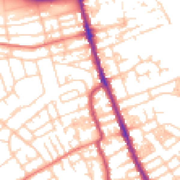
Daytime· 07:00 – 23:00
53.1dB

Night-time· 23:00 – 07:00
41.3dB