18 Rockville Street, Birkenhead, CH42 3XY
About 18 Rockville Street
18 Rockville Street is an end-of-terrace house in Birkenhead (CH42 3XY). It has a recorded floor area of 95 m² (around 1023 sq ft), construction records dating it to 1976-1982 and council tax band A. The latest certificate (October 2013) shows a D (score 62), on the cusp of jumping into the C band. The recommended improvements would lift it to B (score 84), a 2-band jump. The latest certificate is from October 2013, so improvements made since then won't be reflected.
Today's modelled estimate of £143,000 is 30% above the 2020 sale price. On a £-per-square-foot basis, the last sale (£108/sq ft) was about 52.5% above the typical sold price in the postcode. At 95 m² it's 29.1% smaller than the typical home in the postcode (134 m² median across 27 EPCs). Last sale on file: £110,000 in December 2020.
Everything you need to know about 18 Rockville Street
The true value, the hidden risks and the full sale history, in one report.
30-day money-back guarantee

The data behind every report


Energy performance
Recommended upgrades on file would lift this property by multiple EPC bands.
EPC Expired
This certificate is over 10 years old and is no longer valid.Expired 12 Oct 2023
EPC Rating
Planning history
18 Rockville Street has no planning applications on record.
The full report still covers planning activity across the surrounding area.
Sales history & valuation
The latest sale landed in the post-pandemic price surge — useful context when reading the figure.
£143,000
Modelled from EPC, postcode comparables.
£110,000
Recorded with HM Land Registry.
Sales timeline
11 December 2020Most recent
£110,000
Median price across the last 5 sales in CH42 3XY: £150,000 (2025–2024).
Nearby sales in CH42 3XY
14 Rockville Street, Birkenhead, CH42 3XY
Sold Sept 2025
£150,0005a, Rockville Street, Birkenhead, CH42 3XY
Sold Sept 2025
£195,0009 Rockville Street, Birkenhead, CH42 3XY
Sold Aug 2025
£160,00038 Rockville Street, Birkenhead, CH42 3XY
Sold Mar 2025
£100,00016 Rockville Street, Birkenhead, CH42 3XY
Sold Apr 2024
£130,000
Versus other Rockville Street homes
Floor Area for 18 Rockville Street lags the street by a wide margin.
Price per m²
£1,158
Street avg £1,029
Floor Area
95 m²
Street avg 131 m²
Habitable Rooms
5 rooms
Street avg 6 rooms
CO₂ Emissions
4.0 t/year
Street avg 6.6 t/year
Everything you need to know about 18 Rockville Street
The true value, the hidden risks and the full sale history, in one report.
30-day money-back guarantee
The data behind every report
Similar properties nearby
The neighbourhood at a glance
Rail-style transport is unusually close for this postcode.
Crime
8/mo
Steady year-on-year across the wider district.
Nearest stop
0.1 km
Rockville Street — bus stop.
Closest school
0.3 km
Rock Ferry Primary School. 33 schools nearby.
Go deeper on the local area
The full report breaks down crime, transport links, schools and air quality in depth.
Road noise across the postcode
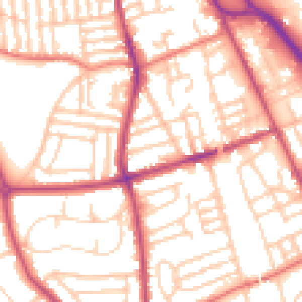
Daytime· 07:00 – 23:00
54.4dB
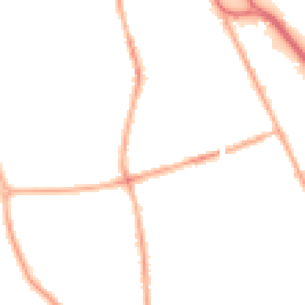
Night-time· 23:00 – 07:00
43.6dB