4 Bouverie Street, Bristol, BS5 0RS
About 4 Bouverie Street
4 Bouverie Street is a mid-terrace house in Bristol (BS5 0RS). It has a recorded floor area of 103 m² (around 1109 sq ft), construction records dating it to 1967-1975 and council tax band B. The latest certificate (July 2022) shows a C (score 69), just inside the C band. When first surveyed in April 2022 the rating was E, the property has climbed 2 bands since. Between certificates, window efficiency went from Average to Good.
It hasn't traded since November 2006, a hold of 20 years that's notably long for the area. At 103 m² the property is well over the postcode median (51 m² across 15 EPCs), placing it in the larger end of the local stock. Today's modelled estimate of £282,000 sits 252.5% above the 2006 sale of £80,000. On a £-per-square-foot basis, the last sale (£72/sq ft) was about 38% below the postcode norm.
Everything you need to know about 4 Bouverie Street
The true value, the hidden risks and the full sale history, in one report.
30-day money-back guarantee

The data behind every report


Energy performance
EPC Rating
Property Improvements
Changes detected from historical EPC data
Heating controls changed
Window efficiency improved
Solar PV panels (30 kWp) installed
Planning history
4 Bouverie Street has no planning applications on record.
Notable planning nearby
23applications of note in the surrounding area
We flagged 2 things worth checking at 4 Bouverie Street
Independent checks surfaced things a buyer would want to understand before offering. The report explains each one in full, with the underlying data and what to ask.
- Signs of HMO activity in the area
- Larger development activity nearby
30-day money-back guarantee
Sales history & valuation
4 Bouverie Street's estimated value is more than triple its earliest registered sale price (2006).
£282,000
Modelled from EPC, postcode comparables.
£80,000
Recorded with HM Land Registry.
Sales timeline
27 November 2006Most recent
£80,000
Median price across the last 5 sales in BS5 0RS: £134,000 (2021–2002).
Nearby sales in BS5 0RS
Versus other Bouverie Street homes
Price per m² for 4 Bouverie Street lags the street by a wide margin.
Price per m²
£777
Street avg £1,542
Floor Area
103 m²
Street avg 96 m²
Habitable Rooms
6 rooms
Street avg 5 rooms
CO₂ Emissions
3.3 t/year
Street avg 3.1 t/year
Everything you need to know about 4 Bouverie Street
The true value, the hidden risks and the full sale history, in one report.
30-day money-back guarantee
The data behind every report
Similar properties nearby
The neighbourhood at a glance
Rail-style transport is unusually close for this postcode.
Crime
11/mo
Steady year-on-year across the wider district.
Nearest stop
0.1 km
Lawrence Hill Depot — bus stop.
Closest school
0.3 km
E-Act Bannerman Road Community Academy. 48 schools nearby.
Go deeper on the local area
The full report breaks down crime, transport links, schools and air quality in depth.
Road noise across the postcode
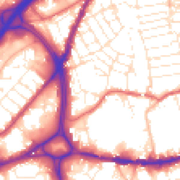
Daytime· 07:00 – 23:00
56.5dB

Night-time· 23:00 – 07:00
47.5dB