49 Admirals Walk, Littlehampton, BN17 6RH
About 49 Admirals Walk
49 Admirals Walk is a mid-terrace house in Littlehampton (BN17 6RH). It has a recorded floor area of 70 m² (around 753 sq ft), construction records dating it to 1983-1990 and council tax band C. The latest certificate (April 2024) shows a C (score 73). The recommended improvements would push it to B (score 88).
Most recent transfer was February 2025 at £270,000 — fresh data. On a £-per-square-foot basis, the last sale (£358/sq ft) was about 71.4% above the typical sold price in the postcode.
Everything you need to know about 49 Admirals Walk
The true value, the hidden risks and the full sale history, in one report.
30-day money-back guarantee

The data behind every report


Energy performance
EPC Rating
Planning history
49 Admirals Walk has no planning applications on record.
Notable planning nearby
10applications of note in the surrounding area
We flagged 1 thing worth checking at 49 Admirals Walk
Independent checks surfaced things a buyer would want to understand before offering. The report explains each one in full, with the underlying data and what to ask.
- Signs of HMO activity in the area
30-day money-back guarantee
Sales history & valuation
49 Admirals Walk valuation sits well clear of the typical sold price in this postcode.
£295,000
Modelled from EPC, postcode comparables.
£270,000
Recorded with HM Land Registry.
Sales timeline
14 February 2025Most recent
£270,000
Median price across the last 5 sales in BN17 6RH: £315,000 (2025–2022).
Nearby sales in BN17 6RH
50 Admirals Walk, Littlehampton, BN17 6RH
Sold Mar 2025
£210,0002 Admirals Walk, Littlehampton, BN17 6RH
Sold Oct 2024
£356,30026 Admirals Walk, Littlehampton, BN17 6RH
Sold Sept 2024
£275,00035 Admirals Walk, Littlehampton, BN17 6RH
Sold Jun 2022
£390,00029 Admirals Walk, Littlehampton, BN17 6RH
Sold Jun 2022
£315,000
Versus other Admirals Walk homes
Years Held for 49 Admirals Walk lags the street by a wide margin.
Price per m²
£3,857
Street avg £3,232
Floor Area
70 m²
Street avg 65 m²
Habitable Rooms
5 rooms
Street avg 4 rooms
CO₂ Emissions
2.0 t/year
Street avg 2.9 t/year
Everything you need to know about 49 Admirals Walk
The true value, the hidden risks and the full sale history, in one report.
30-day money-back guarantee
The data behind every report
Similar properties nearby
The neighbourhood at a glance
Crime
5/mo
Steady year-on-year across the wider district.
Nearest stop
0.2 km
Armada Way — bus stop.
Closest school
0.5 km
Rustington Community Primary School. 11 schools nearby.
Go deeper on the local area
The full report breaks down crime, transport links, schools and air quality in depth.
Road noise across the postcode
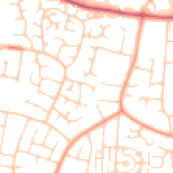
Daytime· 07:00 – 23:00
51.1dB

Night-time· 23:00 – 07:00
39.6dB