Flat, 12 Surrey Street, Littlehampton, BN17 5BG
About Flat
Flat is a mid-terrace house in Littlehampton (BN17 5BG). It has a recorded floor area of 81 m² (around 872 sq ft) and construction records dating it to 1900-1929. The latest certificate (November 2022) shows a D (score 67), on the cusp of jumping into the C band.
At 81 m² it's 27.7% smaller than the typical home in the postcode (112 m² median across 5 EPCs).
Everything you need to know about Flat
The true value, the hidden risks and the full sale history, in one report.
30-day money-back guarantee

The data behind every report


Energy performance
EPC Rating
Planning history
Flat has no planning applications on record.
Notable planning nearby
12applications of note in the surrounding area
We flagged 1 thing worth checking at Flat
Independent checks surfaced things a buyer would want to understand before offering. The report explains each one in full, with the underlying data and what to ask.
- Signs of HMO activity in the area
30-day money-back guarantee
Sales history & valuation
Flat has no Land Registry sales on file, suggesting it has stayed in the same hands since registration began.
£224,000
Modelled from EPC, postcode comparables.
No sales recorded with HM Land Registry
That can mean the property has never traded since the registry began publishing in 1995, was a new build that hasn't been registered yet, or is held in the same hands long-term.
Median price across the last 1 sales in BN17 5BG: £200,000 (2002–2002).
Nearby sales in BN17 5BG
Versus other Surrey Street homes
EPC Rating
67 (D)
Street avg 66 (D)
Floor Area
81 m²
Street avg 103 m²
CO₂ Emissions
3.1 t/year
Street avg 3.8 t/year
Habitable Rooms
5 rooms
Street avg 5 rooms
Everything you need to know about Flat
The true value, the hidden risks and the full sale history, in one report.
30-day money-back guarantee
The data behind every report
Similar properties nearby
1 Manor Parade Flats, Church Street
BN17 5AJ
20a, Flat 2, High Street
BN17 5EE
28 30, Flat 3, Beach Road
BN17 5HT
3 Manor Parade Flats, Church Street
BN17 5AJ
28 30, Flat 2, Beach Road
BN17 5HT
15b, Flat, Surrey Street
BN17 5AZ
28 30, Flat 1, Beach Road
BN17 5HT
16a, Flat 6, Beach Road
BN17 5HT
The neighbourhood at a glance
Rail-style transport is unusually close for this postcode.
Crime
5/mo
Steady year-on-year across the wider district.
Nearest stop
0.1 km
Franciscan Way — bus stop.
Closest school
0.3 km
River Beach Primary School. 8 schools nearby.
Go deeper on the local area
The full report breaks down crime, transport links, schools and air quality in depth.
Road noise across the postcode
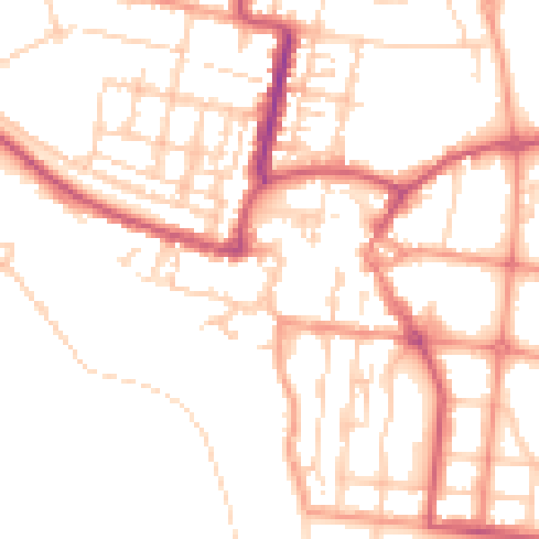
Daytime· 07:00 – 23:00
51.0dB

Night-time· 23:00 – 07:00
40.7dB