Maxwelton, Lower Flat, New Road, Littlehampton, BN17 5AX
About Maxwelton
Maxwelton is a detached house in Littlehampton (BN17 5AX). It has a recorded floor area of 66 m² (around 710 sq ft) and construction records dating it to 1900-1929. The latest certificate (September 2025) shows a D (score 64), on the cusp of jumping into the C band. The rating has held steady at D across 2 certificates since March 2014. Between certificates, window efficiency dropped from Average to Poor.
At 66 m² it sits well below the postcode median (95 m² across 23 EPCs), making it one of the more compact homes locally.
Everything you need to know about Maxwelton
The true value, the hidden risks and the full sale history, in one report.
30-day money-back guarantee

The data behind every report


Energy performance
EPC Rating
Property Improvements
Changes detected from historical EPC data
More low energy lighting installed
Planning history
Maxwelton has no planning applications on record.
Notable planning nearby
12applications of note in the surrounding area
We flagged 2 things worth checking at Maxwelton
Independent checks surfaced things a buyer would want to understand before offering. The report explains each one in full, with the underlying data and what to ask.
- Signs of HMO activity in the area
- Environmental risk flagged
30-day money-back guarantee
Sales history & valuation
Maxwelton has no Land Registry sales on file, suggesting it has stayed in the same hands since registration began.
£192,000
Modelled from EPC, postcode comparables.
No sales recorded with HM Land Registry
That can mean the property has never traded since the registry began publishing in 1995, was a new build that hasn't been registered yet, or is held in the same hands long-term.
Median price across the last 5 sales in BN17 5AX: £250,000 (2023–2020).
Nearby sales in BN17 5AX
17 New Road, Littlehampton, BN17 5AX
Sold Oct 2023
£250,00011a, New Road, Littlehampton, BN17 5AX
Sold Oct 2022
£250,000Katella Cottage, New Road, Littlehampton, BN17 5AX
Sold Aug 2022
£265,50018 New Road, Littlehampton, BN17 5AX
Sold Feb 2021
£375,00021 New Road, Littlehampton, BN17 5AX
Sold Dec 2020
£164,000
Versus other New Road homes
On floor area, Maxwelton stands well clear of the street.
EPC Rating
64 (D)
Street avg 56 (D)
Floor Area
66 m²
Street avg 42 m²
CO₂ Emissions
2.5 t/year
Street avg 3.1 t/year
Habitable Rooms
3 rooms
Street avg 3 rooms
Everything you need to know about Maxwelton
The true value, the hidden risks and the full sale history, in one report.
30-day money-back guarantee
The data behind every report
Similar properties nearby
28 30, Flat 3, Beach Road
BN17 5HT
20a, Flat 2, High Street
BN17 5EE
3 Manor Parade Flats, Church Street
BN17 5AJ
28 30, Flat 2, Beach Road
BN17 5HT
1 Manor Parade Flats, Church Street
BN17 5AJ
15b, Flat, Surrey Street
BN17 5AZ
28 30, Flat 1, Beach Road
BN17 5HT
21a, Flat B, South Terrace
BN17 5PA
The neighbourhood at a glance
Rail-style transport is unusually close for this postcode.
Crime
5/mo
Steady year-on-year across the wider district.
Nearest stop
0.2 km
Anchor Springs Temporary — bus stop.
Closest school
0.4 km
River Beach Primary School. 8 schools nearby.
Go deeper on the local area
The full report breaks down crime, transport links, schools and air quality in depth.
Road noise across the postcode
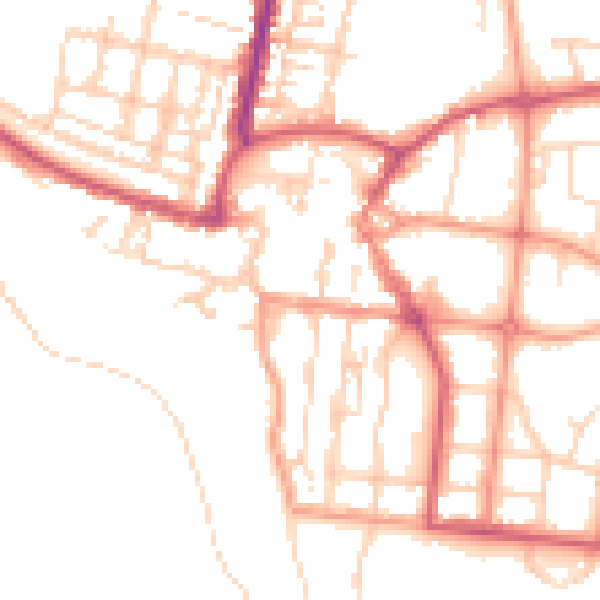
Daytime· 07:00 – 23:00
50.9dB

Night-time· 23:00 – 07:00
40.6dB