8 Chadderton Drive, Bury, BL9 8NL
About 8 Chadderton Drive
8 Chadderton Drive is a property in Bury (BL9 8NL). It has council tax band C.
Held since December 2003 — that's 22 years off the open market, well above the local norm. Across 1995–2003, sale prices on this property compounded at 10.8% per year. One historical planning record sits against the property in 2009.
Know exactly what you're buying at 8 Chadderton Drive
Before you offer, see what the listing won't tell you, the true value, the red flags and the full history.
Already flagged here
Valuation
against the asking price
Risks
planning & flood
Sold prices
similar homes nearby
Trends
the local market
Energy performance
No EPC on record
This property doesn't have an Energy Performance Certificate yet. An EPC is required to sell or let — and unlocks our automated valuation.
Planning history
- Nov 2009ExtensionOutlineIn report
Extension: Rear of property
LAWFUL DEVELOPMENT CERTIFICATE FOR PROPOSED SINGLE STOREY REAR EXTENSION
- Agent
- Holborow & Ormesher
- Documents
- 6 docs on file
- Reference
- 51986
We flagged 1 thing worth checking at 8 Chadderton Drive
Independent checks surfaced things a buyer would want to understand before offering. The report explains each one in full, with the underlying data and what to ask.
- Larger development activity nearby
30-day money-back guarantee
Sales history & valuation
8 Chadderton Drive has more than doubled in price since the earliest registered sale in 1995.
£135,000
Growth on file: 10.8% per year over 8 years.
Sales timeline
22 December 2003Most recent
£135,000
+35.0%over 2 years16 November 2001
£100,000
+69.5%over 5 years17 November 1995
£59,000
Median price across the last 5 sales in BL9 8NL: £257,000 (2025–2018).
Everything we know about 8 Chadderton Drive, in one report
What it's really worth, what could be wrong, and the planning, sales and area data in full.
What we flagged
- Larger development activity nearby

Similar properties nearby
The neighbourhood at a glance
Nearest stop
0.3 km
Randale Drive — bus stop.
Closest school
0.2 km
Unsworth Primary School. 25 schools nearby.
Go deeper on the local area
The full report breaks down crime, transport links, schools and air quality in depth.
Road noise across the postcode
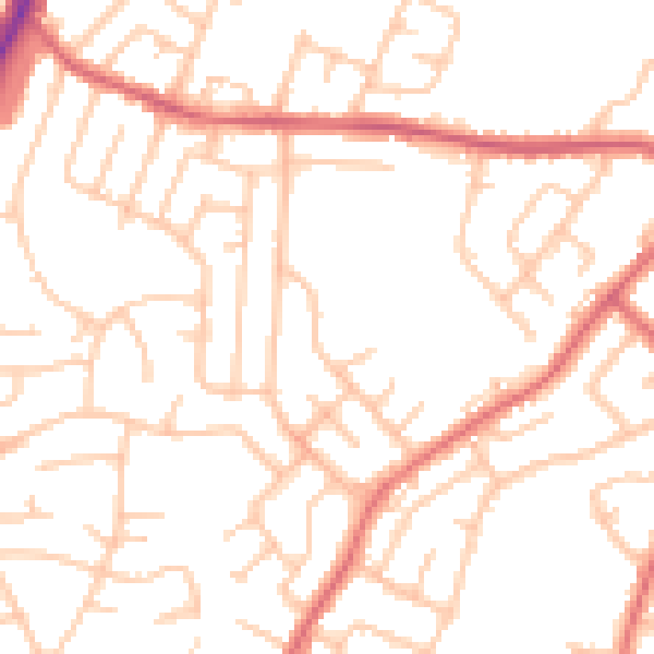
Daytime· 07:00 – 23:00
51.5dB
Night-time· 23:00 – 07:00
42.5dB