Wardens Flat, 9 Lower Bank Street, Bury, BL9 0HD
About Wardens Flat
Wardens Flat is a mid-terrace house in Bury (BL9 0HD). It has a recorded floor area of 123 m² (around 1324 sq ft), construction records dating it to 1900-1929 and council tax band B. The latest certificate (June 2024) shows a D (score 65), on the cusp of jumping into the C band. The rating has held steady at D across 2 certificates since February 2012. Between certificates, roof efficiency dropped from Very Good to Good. The recommended improvements would lift it to B (score 83), a 2-band jump.
Know exactly what you're buying at Wardens Flat
Before you offer, see what the listing won't tell you, the true value, the red flags and the full history.
Already flagged here
Valuation
against the asking price
Risks
planning & flood
Sold prices
similar homes nearby
Trends
the local market
Energy performance
Recommended upgrades on file would lift this property by multiple EPC bands.
EPC Rating
Planning history
Wardens Flat has no planning applications on record.
Notable planning nearby
18applications of note in the surrounding area
We flagged 1 thing worth checking at Wardens Flat
Independent checks surfaced things a buyer would want to understand before offering. The report explains each one in full, with the underlying data and what to ask.
- Signs of HMO activity in the area
30-day money-back guarantee
Sales history & valuation
Wardens Flat has no Land Registry sales on file, suggesting it has stayed in the same hands since registration began.
£184,000
Modelled from EPC, postcode comparables.
No sales recorded with HM Land Registry
That can mean the property has never traded since the registry began publishing in 1995, was a new build that hasn't been registered yet, or is held in the same hands long-term.
Median price across the last 1 sales in BL9 0HD: £15,350 (1996–1996).
Nearby sales in BL9 0HD
Everything we know about Wardens Flat, in one report
What it's really worth, what could be wrong, and the planning, sales and area data in full.
What we flagged
- Signs of HMO activity in the area

Similar properties nearby
150 152, Flat 6, Manchester Road
BL9 0TL
150 152, Flat 7, Manchester Road
BL9 0TL
37a, Flat 2, Manchester Old Road
BL9 0TR
150 152, Flat 10, Manchester Road
BL9 0TL
10a, Apartment 5, The Rock
BL9 0NT
10a, Apartment 1, The Rock
BL9 0NT
37a, Flat 1, Manchester Old Road
BL9 0TR
37a, Flat 4, Manchester Old Road
BL9 0TR
The neighbourhood at a glance
Rail-style transport is unusually close for this postcode.
Nearest stop
0.1 km
Bolton Street — bus stop.
Closest school
0.5 km
Bury College. 32 schools nearby.
Go deeper on the local area
The full report breaks down crime, transport links, schools and air quality in depth.
Road noise across the postcode
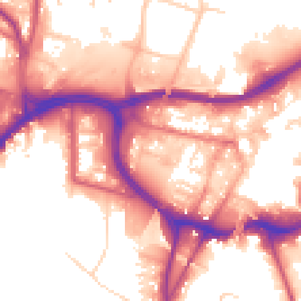
Daytime· 07:00 – 23:00
56.8dB

Night-time· 23:00 – 07:00
49.0dB