Are you a property professional?Get qualified leads from motivated homeowners.
Get started86 Bankhouse Road, Bury, BL8 1DY
EPC B
About 86 Bankhouse Road
A plain-English summary derived from public records, EPC certificates, sold prices and local data.
86 Bankhouse Road is a three-bedroom semi-detached house in Bury (BL8 1DY). It has a recorded floor area of 82 m² (around 883 sq ft), construction records dating it to 1950-1966 and council tax band C. The latest certificate (November 2012) returns a high B (score 90), putting the home a stone's throw from an A rating. The recommended improvements would push it to A (score 94). The latest certificate is from November 2012, so improvements made since then won't be reflected.
Held since May 2007 — that's 19 years off the open market, well above the local norm. That sale landed at the peak of the pre-credit-crunch market, which is a useful reference point when interpreting the price. Sale prices here have outpaced Bury HPI: 16.9% per year against 0% for the wider region. Today's modelled estimate of £262,000 sits 50.6% above the 2007 sale of £174,000. On energy efficiency it sits in the top 10% of properties in this postcode. One planning record on file: an extension approved in 2019. Past consents include an extension and a garage conversion, meaningful when judging how the property has evolved.
What this property has
Pulled from EPC certificates, claim submissions and our property model. Empty categories are hidden — we only show what's known.
Inside
- Bedrooms3
Energy performance
Every EPC certificate filed against this property — current rating, recorded improvements, and where there's headroom to reach a higher band.
86 Bankhouse Road ranks among the most efficient homes in the postcode for energy use.
EPC Expired
This certificate is over 10 years old and is no longer valid.Expired 19 Nov 2022
Planning history
Applications and permits filed against 86 Bankhouse Road, Bury, BL8 1DY, sourced from the PlanIt planning register.
- Jun 2019Garage ConversionFullApprove with Conditions
Extension: Single storey · Front of property
Single storey front extension and garage conversion with replacement of existing flat roof with pitched roof
Sales history & valuation
Recorded transactions, our model's current estimate, and a quick read on what neighbouring properties have sold for.
Sale price has at least doubled since 2001.
Current estimate
See how we calculated this£262,000
Modelled from EPC, postcode comparables and a sale-price growth of 16.9% per year over 5 years.
Last sold (2007)
£174,000
Growth on file: 16.9% per year over 5 years.
Sales timeline
Launch offer · 33% off
Buying 86 Bankhouse Road, Bury, BL8 1DY? Know what you're getting into
Everything a buyer needs to know about this property, compiled into one in-depth report so there are no surprises after you offer.
Spot red flags before you buy
An AI-written breakdown of everything that matters
Versus other Bankhouse Road homes
Four headline reads against 20 similar houses on this street, drawn from the latest EPC and Land Registry data.
86 Bankhouse Road outperforms the street on epc rating by a wide margin.
Price per m²
£2,122
Street avg £2,113
Floor Area
82 m²
Street avg 95 m²
Habitable Rooms
5 rooms
Similar properties nearby
A handful of close matches in the same postcode area, ranked by likeness on bedrooms, type and floor area.
The neighbourhood at a glance
A condensed read of the local area. Each tile links through to the full breakdown on the Bury district page.
Crime
1/mo
Steady year-on-year across the wider district.
Nearest stop
0.3 km
Lomond Drive — bus stop.
Road noise across the postcode
Modelled day and night-time noise levels around BL8 1DY from Defra's strategic mapping. The pin marks this postcode's centroid.
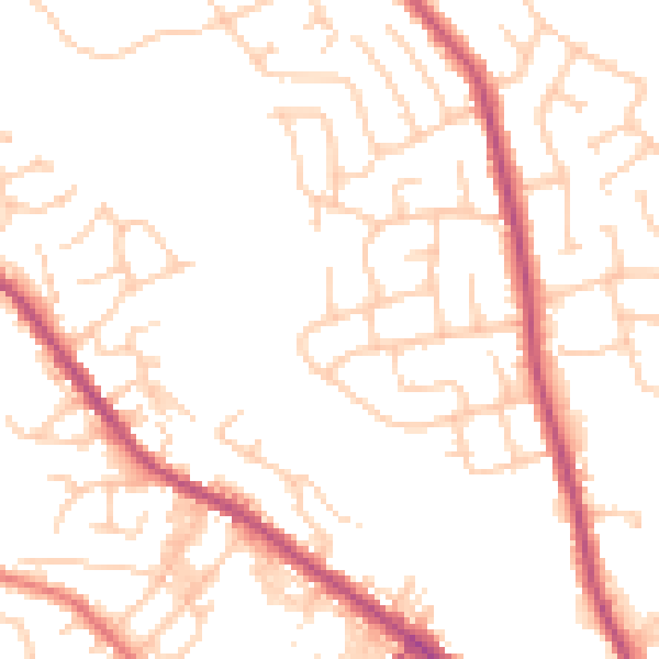
Daytime· 07:00 – 23:00
50.0dB

Everything within walking distance
Schools, transport stops and scenic spots near this property — 60 points of interest in total.
Common questions
The questions buyers, sellers and homeowners most often ask about 86 Bankhouse Road, Bury, BL8 1DY. Each answer is also embedded as structured data for search engines.
