7 Balfour Street, Bingley, BD16 1HA
About 7 Balfour Street
7 Balfour Street is a three-bedroom mid-terrace house in Bingley (BD16 1HA). It has a recorded floor area of 72 m² (around 775 sq ft), construction records dating it to 1930-1949 and council tax band B. The latest certificate (August 2024) shows a C (score 77), near the top of the C band. The recommended improvements would push it to B (score 89).
On energy efficiency it sits in the top 10% of properties in this postcode. A recent sale: £225,000 in January 2025. Across 1998–2025, sale prices on this property compounded at 5.9% per year. On a £-per-square-foot basis, the last sale (£290/sq ft) was about 77.9% above the typical sold price in the postcode.
What this property has
Inside
- Bedrooms3
- Bathrooms1
Outside
- Private gardenYes
Building
- Central heatingYes
- RefurbishedYes
Everything you need to know about 7 Balfour Street
The true value, the hidden risks and the full sale history, in one report.
30-day money-back guarantee

The data behind every report


Energy performance
7 Balfour Street ranks among the most efficient homes in the postcode for energy use.
EPC Rating
Planning history
7 Balfour Street has no planning applications on record.
Notable planning nearby
10applications of note in the surrounding area
We flagged 2 things worth checking at 7 Balfour Street
Independent checks surfaced things a buyer would want to understand before offering. The report explains each one in full, with the underlying data and what to ask.
- Signs of HMO activity in the area
- Larger development activity nearby
30-day money-back guarantee
Sales history & valuation
Latest sale on 7 Balfour Street was the highest on Land Registry record across the postcode.
£237,000
Modelled from EPC, postcode comparables and a sale-price growth of 5.9% per year over 27 years.
£225,000
Growth on file: 5.9% per year over 27 years.
Sales timeline
17 January 2025Most recent
£225,000
+257.1%over 4 years9 December 2020
£63,000
+31.3%over 22 years26 February 1998
£48,000
Median price across the last 5 sales in BD16 1HA: £150,000 (2024–2016).
Nearby sales in BD16 1HA
Versus other Balfour Street homes
On years held, 7 Balfour Street runs well behind the street norm.
Price per m²
£3,125
Street avg £1,986
Floor Area
72 m²
Street avg 69 m²
Habitable Rooms
5 rooms
Street avg 5 rooms
CO₂ Emissions
2.2 t/year
Street avg 4.1 t/year
Everything you need to know about 7 Balfour Street
The true value, the hidden risks and the full sale history, in one report.
30-day money-back guarantee
The data behind every report
Similar properties nearby
1 Bents Foot, Harden
BD16 1BQ
1 Chadwell Springs
BD16 1QE
1 Balfour Street
BD16 1HA
1 Canon Pinnington Mews
BD16 1AQ
1 Ashley Road
BD16 1DZ
1 Aire View Avenue
BD16 1NS
1 Bridge Cottages, Bradford Road, Cottingley Bridge
BD16 1NB
1 Cockcroft Fold, Harden
BD16 1HU
The neighbourhood at a glance
Rail-style transport is unusually close for this postcode.
Crime
4/mo
Steady year-on-year across the wider district.
Nearest stop
0.2 km
Ashfield Court — bus stop.
Closest school
0.1 km
Myrtle Park Primary. 14 schools nearby.
Go deeper on the local area
The full report breaks down crime, transport links, schools and air quality in depth.
Road noise across the postcode
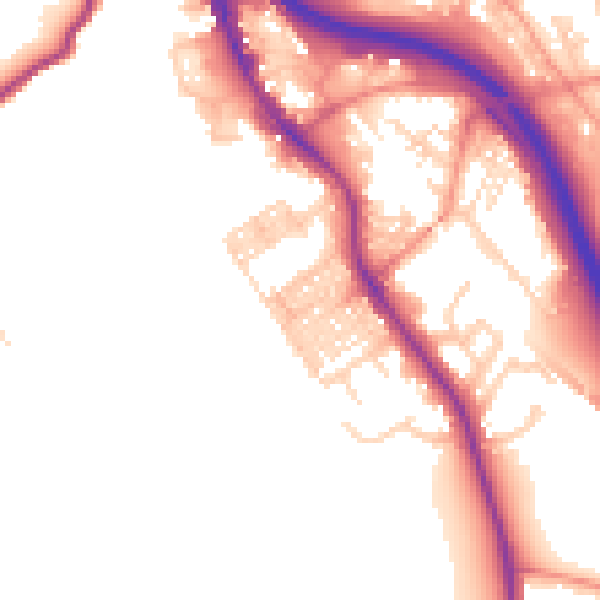
Daytime· 07:00 – 23:00
51.5dB

Night-time· 23:00 – 07:00
44.1dB