11 Abbey Farm View, Whalley, Clitheroe, BB7 9YF
About 11 Abbey Farm View
11 Abbey Farm View is a property in Whalley, Clitheroe, Clitheroe (BB7 9YF).
Last changed hands 9 years ago, in June 2017. One historical planning record sits against the property in 2024.
Know exactly what you're buying at 11 Abbey Farm View
Before you offer, see what the listing won't tell you, the true value, the red flags and the full history.
Already flagged here
Valuation
against the asking price
Risks
planning & flood
Sold prices
similar homes nearby
Trends
the local market
Energy performance
No EPC on record
This property doesn't have an Energy Performance Certificate yet. An EPC is required to sell or let — and unlocks our automated valuation.
Planning history
- Jan 2024OutbuildingFullIn report
Erection of a detached garage.
- Documents
- 7 docs on file
- Reference
- 35986
We flagged 1 thing worth checking at 11 Abbey Farm View
Independent checks surfaced things a buyer would want to understand before offering. The report explains each one in full, with the underlying data and what to ask.
- Larger development activity nearby
30-day money-back guarantee
Sales history & valuation
£160,000
Recorded with HM Land Registry.
Sales timeline
1 June 2017Most recent
£160,000
Median price across the last 5 sales in BB7 9YF: £340,000 (2023–2019).
Nearby sales in BB7 9YF
9 Abbey Farm View, Whalley, Clitheroe, BB7 9YF
Sold Jul 2023
£189,00021 Abbey Farm View, Whalley, Clitheroe, BB7 9YF
Sold May 2023
£505,0005 Abbey Farm View, Whalley, Clitheroe, BB7 9YF
Sold Dec 2019
£168,00017 Abbey Farm View, Whalley, Clitheroe, BB7 9YF
Sold Jun 2019
£340,00023 Abbey Farm View, Whalley, Clitheroe, BB7 9YF
Sold Jun 2019
£489,995
Everything we know about 11 Abbey Farm View, in one report
What it's really worth, what could be wrong, and the planning, sales and area data in full.
What we flagged
- Larger development activity nearby

Similar properties nearby
1 Ash Grove, Whalley
BB7 9UW
1 Anvil House, Manor Road, Whalley
BB7 9TE
1 Abbey Terrace, Billington
BB7 9LQ
1 Accrington Road, Whalley
BB7 9TD
1 Bank Cottages, Billington
BB7 9NL
1 Abbey Terrace, Barrow
BB7 9AT
1 Abbey View, Billington
BB7 9NS
1 Abbeycroft, The Sands, Whalley
BB7 9TN
The neighbourhood at a glance
Rail-style transport is unusually close for this postcode.
Crime
1/mo
Steady year-on-year across the wider district.
Nearest stop
0.2 km
Nethertown Close — bus stop.
Closest school
0.6 km
Whalley Church of England Primary School. 4 schools nearby.
Go deeper on the local area
The full report breaks down crime, transport links, schools and air quality in depth.
Road noise across the postcode
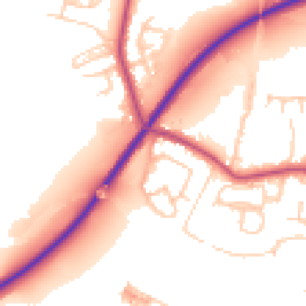
Daytime· 07:00 – 23:00
54.7dB

Night-time· 23:00 – 07:00
47.4dB