2a, Mitchell Street, Clitheroe, BB7 1DF
About 2a
2a is a two-bedroom end-of-terrace house in Clitheroe (BB7 1DF). It has a recorded floor area of 57 m² (around 614 sq ft), construction records dating it to 2003-2006 and council tax band A. At 57 m² this is the 13th smallest of 39 units on EPC record in the building, where floor areas span 36–95 m². The building's EPC ratings span E to B across 39 units on file. The home occupies a cul-de-sac position. The latest certificate (April 2024) shows a C (score 78), near the top of the C band.
Most recent transfer was December 2024 at £129,950 — fresh data. On a £-per-square-foot basis, the last sale (£212/sq ft) was about 66.6% above the typical sold price in the postcode.
Know exactly what you're buying at 2a
Before you offer, see what the listing won't tell you, the true value, the red flags and the full history.
Valuation
against the asking price
Risks
planning & flood
Sold prices
similar homes nearby
Trends
the local market
What this property has
Inside
- Bedrooms2
- Bathrooms1
- Open-plan layoutYes
- Dining roomYes
Outside
- ParkingAllocated
- Cul-de-sacYes
Energy performance
EPC Rating
Planning history
2a has no planning applications on record.
Notable planning nearby
1applications of note in the surrounding area
Sales history & valuation
2a valuation sits well clear of the typical sold price in this postcode.
£140,000
Modelled from EPC, postcode comparables.
£129,950
Recorded with HM Land Registry.
Sales timeline
9 December 2024Most recent
£129,950
Median price across the last 5 sales in BB7 1DF: £145,500 (2025–2023).
Nearby sales in BB7 1DF
Everything we know about 2a, in one report
What it's really worth, what could be wrong, and the planning, sales and area data in full.
- Am I paying too much?
- Is something wrong with it?
- Is the agent's story true?
- Will it hold its value?

Versus other Mitchell Street homes
2a outperforms the street on floor area by a wide margin.
EPC Rating
78 (C)
Street avg 77 (C)
Floor Area
57 m²
Street avg 46 m²
CO₂ Emissions
1.6 t/year
Street avg 1.4 t/year
Habitable Rooms
3 rooms
Street avg 3 rooms
Similar properties nearby
The neighbourhood at a glance
Rail-style transport is unusually close for this postcode.
Crime
1/mo
Steady year-on-year across the wider district.
Nearest stop
0.2 km
Newton Street — bus stop.
Closest school
0.3 km
St James' Church of England Primary School, Clitheroe. 10 schools nearby.
Go deeper on the local area
The full report breaks down crime, transport links, schools and air quality in depth.
Road noise across the postcode
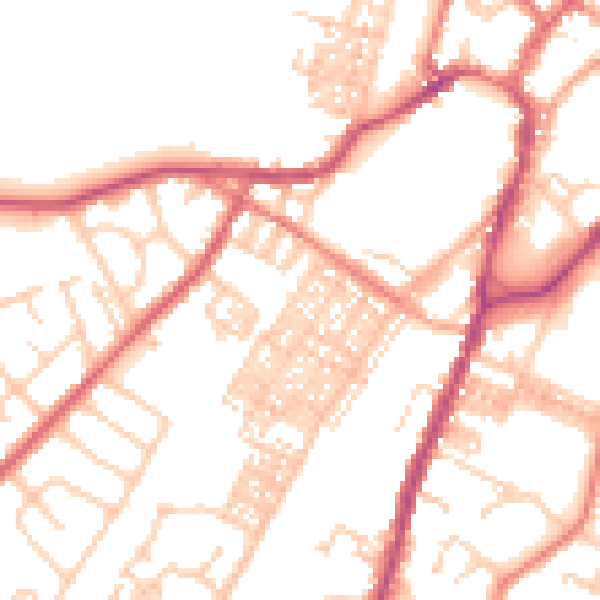
Daytime· 07:00 – 23:00
52.1dB

Night-time· 23:00 – 07:00
41.6dB