55 West View, Clitheroe, BB7 1DB
About 55 West View
55 West View is a mid-terrace house in Clitheroe (BB7 1DB). It has a recorded floor area of 87 m² (around 936 sq ft), construction records dating it to 1900-1929 and council tax band B. The latest certificate (May 2013) shows a C (score 69), just inside the C band. The recommended improvements would push it to B (score 88). The latest certificate is from May 2013, so improvements made since then won't be reflected.
Today's modelled estimate of £162,000 sits 80% above the 2012 sale of £90,000. On a £-per-square-foot basis, the last sale (£96/sq ft) was about 28.3% below the postcode norm. Its energy rating outperforms most of the postcode (better than 79% of similar EPCs). On the market in June 2012 and unlisted since — roughly 14 years.
Know exactly what you're buying at 55 West View
Before you offer, see what the listing won't tell you, the true value, the red flags and the full history.
Valuation
against the asking price
Risks
planning & flood
Sold prices
similar homes nearby
Trends
the local market
Energy performance
55 West View's EPC is over a decade old — improvements since won't be reflected.
EPC Expired
This certificate is over 10 years old and is no longer valid.Expired 21 May 2023
EPC Rating
Planning history
55 West View has no planning applications on record.
Notable planning nearby
1applications of note in the surrounding area
Sales history & valuation
£162,000
Modelled from EPC, postcode comparables.
£90,000
Recorded with HM Land Registry.
Sales timeline
18 June 2012Most recent
£90,000
Median price across the last 5 sales in BB7 1DB: £212,000 (2025–2022).
Everything we know about 55 West View, in one report
What it's really worth, what could be wrong, and the planning, sales and area data in full.
- Am I paying too much?
- Is something wrong with it?
- Is the agent's story true?
- Will it hold its value?

Versus other West View homes
Price per m² for 55 West View lags the street by a wide margin.
Price per m²
£1,034
Street avg £1,654
Floor Area
87 m²
Street avg 96 m²
Habitable Rooms
4 rooms
Street avg 5 rooms
CO₂ Emissions
3.3 t/year
Street avg 5.1 t/year
Similar properties nearby
The neighbourhood at a glance
Rail-style transport is unusually close for this postcode.
Crime
1/mo
Steady year-on-year across the wider district.
Nearest stop
0.1 km
Newton Street — bus stop.
Closest school
0.3 km
St James' Church of England Primary School, Clitheroe. 10 schools nearby.
Go deeper on the local area
The full report breaks down crime, transport links, schools and air quality in depth.
Road noise across the postcode
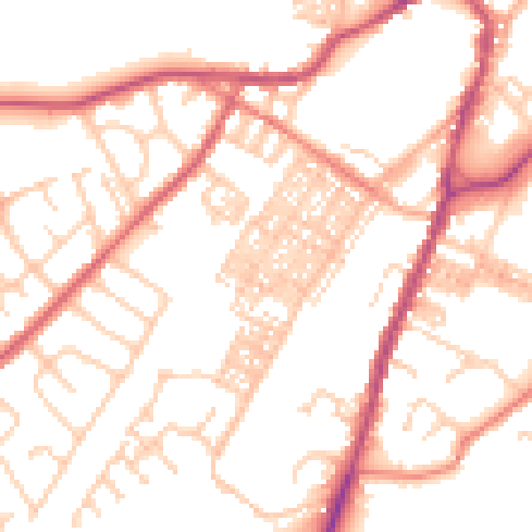
Daytime· 07:00 – 23:00
52.4dB

Night-time· 23:00 – 07:00
41.9dB