2 Green Bank, Earby, Barnoldswick, BB18 6QQ
About 2 Green Bank
2 Green Bank is a property in Earby, Barnoldswick, Barnoldswick (BB18 6QQ). It has council tax band C.
Held since July 2003 — that's 23 years off the open market, well above the local norm. One planning record on file: an extension approved in 2005. Past consents include an extension, meaningful when judging how the property has evolved.
Know exactly what you're buying at 2 Green Bank
Before you offer, see what the listing won't tell you, the true value, the red flags and the full history.
Valuation
against the asking price
Risks
planning & flood
Sold prices
similar homes nearby
Trends
the local market
Energy performance
No EPC on record
This property doesn't have an Energy Performance Certificate yet. An EPC is required to sell or let — and unlocks our automated valuation.
Planning history
Council records include a two-storey rear extension at 2 Green Bank.
- May 2005ExtensionFullIn report
Extension: Two storey · Rear of property
Full: Erection of two storey extension to rear to form bedroom and sitting room
- Documents
- 13 docs on file
- Reference
- 13/05/0212P
What's in 2 Green Bank, Earby, Barnoldswick, BB18 6QQ's planning history?
Refusals, disputes and full decisions on this property and nearby, in the report.
Sales history & valuation
£128,190
Recorded with HM Land Registry.
Sales timeline
30 July 2003Most recent
£128,190
Median price across the last 3 sales in BB18 6QQ: £77,950 (2003–1996).
Nearby sales in BB18 6QQ
Everything we know about 2 Green Bank, in one report
What it's really worth, what could be wrong, and the planning, sales and area data in full.
- Am I paying too much?
- Is something wrong with it?
- Is the agent's story true?
- Will it hold its value?

Similar properties nearby
1 Albion Road, Earby
BB18 6PZ
1 Albion Street, Earby
BB18 6QA
1 Alder Hill Croft, Earby
BB18 6SG
1 Alder Hill Street, Earby
BB18 6QZ
1 Alpha Street, Salterforth
BB18 6ST
1 Applegarth
BB18 6EW
1 Arthur Street, Sough
BB18 6SU
1 Aspen Grove, Earby
BB18 6LS
The neighbourhood at a glance
Daytime road noise here sits well below conversation level — a quiet pocket of the postcode.
Crime
1/mo
Steady year-on-year across the wider district.
Nearest stop
0.2 km
School Lane — bus stop.
Closest school
0.8 km
Earby Springfield Primary School. 8 schools nearby.
Go deeper on the local area
The full report breaks down crime, transport links, schools and air quality in depth.
Road noise across the postcode
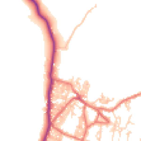
Daytime· 07:00 – 23:00
48.6dB

Night-time· 23:00 – 07:00
40.6dB