7 Albion Street, Earby, Barnoldswick, BB18 6QA
About 7 Albion Street
7 Albion Street is a two-bedroom mid-terrace house in Earby, Barnoldswick, Barnoldswick (BB18 6QA). It has a recorded floor area of 332 m² (around 3574 sq ft), construction records dating it to 1900-1929 and council tax band A. There is a swimming pool on the plot, uncommon for the area. Period features are noted in the property record. The latest certificate (January 2014) shows a D (score 64), on the cusp of jumping into the C band. The rating has held steady at D across 3 certificates since June 2012. Between certificates, lighting went from Poor to Good; while wall efficiency dropped from Poor to Very Poor and roof efficiency dropped from Average to Poor. The recommended improvements would lift it to B (score 84), a 2-band jump. The latest certificate is from January 2014, so improvements made since then won't be reflected.
At 332 m² the property is well over the postcode median (64 m² across 22 EPCs), placing it in the larger end of the local stock. Across 2002–2012, sale prices on this property compounded at 7% per year. Today's modelled estimate of £123,000 sits 75.7% above the 2012 sale of £70,000. On a £-per-square-foot basis, the last sale (£20/sq ft) was about 78.9% below the postcode norm. On the market in July 2012 and unlisted since — roughly 14 years.
Know exactly what you're buying at 7 Albion Street
Before you offer, see what the listing won't tell you, the true value, the red flags and the full history.
Valuation
against the asking price
Risks
planning & flood
Sold prices
similar homes nearby
Trends
the local market
What this property has
Inside
- Bedrooms2
- Bathrooms1
- FireplaceYes
Outside
- Private gardenRear
- Swimming poolYes
Building
- Period featuresYes
- RefurbishedYes
Energy performance
7 Albion Street's carbon output runs well above what efficient homes in the postcode produce.
EPC Expired
This certificate is over 10 years old and is no longer valid.Expired 16 Jan 2024
EPC Rating
Property Improvements
Changes detected from historical EPC data
Low energy lighting percentage decreased
Heating controls changed
Hot water system changed
Glazing upgraded to newer, more efficient type
More low energy lighting installed
Planning history
7 Albion Street has no planning applications on record.
The full report still covers planning activity across the surrounding area.
Sales history & valuation
7 Albion Street's estimated value is more than triple its earliest registered sale price (2002).
£123,000
Modelled from EPC, postcode comparables and a sale-price growth of 7.0% per year over 10 years.
£70,000
Growth on file: 7.0% per year over 10 years.
Sales timeline
17 July 2012Most recent
£70,000
+94.4%over 9 years3 October 2002
£36,000
Median price across the last 5 sales in BB18 6QA: £100,000 (2025–2021).
Nearby sales in BB18 6QA
22 Albion Street, Earby, Barnoldswick, BB18 6QA
Sold Jan 2025
£100,0001 Albion Street, Earby, Barnoldswick, BB18 6QA
Sold May 2023
£105,0009 Albion Street, Earby, Barnoldswick, BB18 6QA
Sold Dec 2022
£100,00036 Albion Street, Earby, Barnoldswick, BB18 6QA
Sold Mar 2022
£95,00025 Albion Street, Earby, Barnoldswick, BB18 6QA
Sold Nov 2021
£122,000
Everything we know about 7 Albion Street, in one report
What it's really worth, what could be wrong, and the planning, sales and area data in full.
- Am I paying too much?
- Is something wrong with it?
- Is the agent's story true?
- Will it hold its value?

Versus other Albion Street homes
On price per m², 7 Albion Street runs well behind the street norm.
Price per m²
£211
Street avg £1,286
Floor Area
332 m²
Street avg 71 m²
Habitable Rooms
5 rooms
Street avg 4 rooms
CO₂ Emissions
12.0 t/year
Street avg 5.0 t/year
Similar properties nearby
1 Back Water Street, Earby
BB18 6PN
1 Albion Street, Earby
BB18 6QA
1 Beech Grove
BB18 6AE
1 Avon Drive
BB18 6ET
1 Coates Fields
BB18 6YW
1 Applegarth
BB18 6EW
1 Alder Hill Street, Earby
BB18 6QZ
1 Co Operative Street
BB18 6AL
The neighbourhood at a glance
Daytime road noise here sits well below conversation level — a quiet pocket of the postcode.
Crime
1/mo
Steady year-on-year across the wider district.
Nearest stop
0.1 km
Bus Station — bus station.
Closest school
0.7 km
Earby Springfield Primary School. 9 schools nearby.
Go deeper on the local area
The full report breaks down crime, transport links, schools and air quality in depth.
Road noise across the postcode
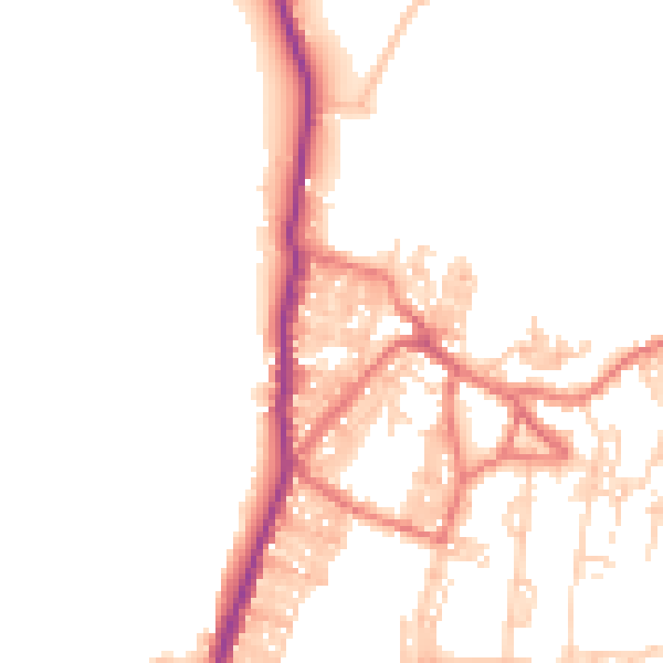
Daytime· 07:00 – 23:00
48.4dB

Night-time· 23:00 – 07:00
39.9dB