6 Cowgill Street, Earby, Barnoldswick, BB18 6NW
About 6 Cowgill Street
6 Cowgill Street is a four-bedroom mid-terrace house in Earby, Barnoldswick, Barnoldswick (BB18 6NW). It has a recorded floor area of 100 m² (around 1076 sq ft), construction records dating it to 1900-1929 and council tax band A. The latest certificate (October 2022) shows a D (score 55), a step below the typical UK home. The rating has held steady at D across 2 certificates since January 2012. Between certificates, wall efficiency went from Very Poor to Poor and lighting went from Very Poor to Very Good. The recommended improvements would lift it to B (score 81), a 2-band jump.
Across 1999–2014, sale prices on this property compounded at 4.7% per year. Today's modelled estimate of £145,000 sits 90.8% above the 2014 sale of £76,000. On a £-per-square-foot basis, the last sale (£71/sq ft) was about 30.6% below the postcode norm. Last sold in September 2014, so it's been off the market for around 12 years. Across the public record there are 5 sales, relatively high churn for a single property. At 100 m² it's 23.5% larger than the typical home in the postcode (81 m² median across 19 EPCs). One historical planning record sits against the property in 2003.
Know exactly what you're buying at 6 Cowgill Street
Before you offer, see what the listing won't tell you, the true value, the red flags and the full history.
Valuation
against the asking price
Risks
planning & flood
Sold prices
similar homes nearby
Trends
the local market
What this property has
Inside
- Bedrooms4
- Bathrooms1
- Dining roomYes
- EnsuiteYes
Outside
- Private gardenRear
Building
- RefurbishedYes
Energy performance
6 Cowgill Street's carbon output runs well above what efficient homes in the postcode produce.
EPC Rating
Property Improvements
Changes detected from historical EPC data
Heating controls changed
Wall insulation improved
More low energy lighting installed
Planning history
- Jan 2003OutbuildingAmendmentIn report
Certificate of lawfulness for kitchen outbuilding
- Documents
- 2 docs on file
- Reference
- 13/03/0025P
What's in 6 Cowgill Street, Earby, Barnoldswick, BB18 6NW's planning history?
Refusals, disputes and full decisions on this property and nearby, in the report.
Sales history & valuation
6 Cowgill Street has more than doubled in price since the earliest registered sale in 1999.
£145,000
Modelled from EPC, postcode comparables and a sale-price growth of 4.7% per year over 16 years.
£76,000
Growth on file: 4.7% per year over 16 years.
Sales timeline
25 September 2014Most recent
£76,000
-22.8%over 8 years22 November 2005
£98,500
+15.9%over 1 year11 May 2004
£85,000
+63.5%over 11 months2 June 2003
£52,000
+40.5%over 4 years26 February 1999
£37,000
Median price across the last 5 sales in BB18 6NW: £115,000 (2025–2024).
Nearby sales in BB18 6NW
9 Cowgill Street, Earby, Barnoldswick, BB18 6NW
Sold Aug 2025
£122,50016 Cowgill Street, Earby, Barnoldswick, BB18 6NW
Sold Dec 2024
£159,95019 Cowgill Street, Earby, Barnoldswick, BB18 6NW
Sold Dec 2024
£115,0007 Cowgill Street, Earby, Barnoldswick, BB18 6NW
Sold Jan 2024
£89,95023 Cowgill Street, Earby, Barnoldswick, BB18 6NW
Sold Jan 2024
£105,000
Everything we know about 6 Cowgill Street, in one report
What it's really worth, what could be wrong, and the planning, sales and area data in full.
- Am I paying too much?
- Is something wrong with it?
- Is the agent's story true?
- Will it hold its value?

Versus other Cowgill Street homes
6 Cowgill Street is notably below the street on price per m².
Price per m²
£760
Street avg £1,179
Floor Area
100 m²
Street avg 88 m²
Habitable Rooms
4 rooms
Street avg 4 rooms
CO₂ Emissions
6.4 t/year
Street avg 5.7 t/year
Similar properties nearby
1 Albion Road, Earby
BB18 6PZ
1 Alder Hill Street, Earby
BB18 6QZ
1 Co Operative Street
BB18 6AL
1 Clifford Street
BB18 6AG
1 Aspen Grove, Earby
BB18 6LS
1 Alpha Street, Salterforth
BB18 6ST
1 Beech Avenue, Earby
BB18 6NQ
1 Beech Grove
BB18 6AE
The neighbourhood at a glance
Daytime road noise here sits well below conversation level — a quiet pocket of the postcode.
Crime
1/mo
Steady year-on-year across the wider district.
Nearest stop
0.1 km
George Street — bus stop.
Closest school
0.5 km
Earby Springfield Primary School. 9 schools nearby.
Go deeper on the local area
The full report breaks down crime, transport links, schools and air quality in depth.
Road noise across the postcode
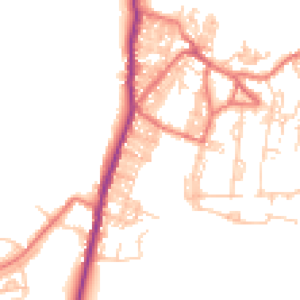
Daytime· 07:00 – 23:00
48.9dB

Night-time· 23:00 – 07:00
39.7dB