19a, Albert Road, Barnoldswick, BB18 5AA
About 19a
19a is a mid-terrace house in Barnoldswick (BB18 5AA). It has a recorded floor area of 73 m² (around 786 sq ft), construction records dating it to before 1900 and council tax band A. The latest certificate (March 2018) shows an E (score 47), well below the UK norm with real room to improve. The rating has held steady at E across 2 certificates since March 2009. Between certificates, window efficiency went from Poor to Average and lighting went from Very Poor to Average. The recommended improvements would lift it to C (score 69), a 2-band jump.
Across 2007–2019, sale prices on this property compounded at 5.9% per year. Today's modelled estimate of £116,000 is 29.7% below the 2019 sale of £165,000, an unusual pattern given regional price growth and worth checking against the EPC condition. On a £-per-square-foot basis, the last sale (£210/sq ft) was about 198.6% above the typical sold price in the postcode. Most recent transfer: March 2019 at £165,000.
Know exactly what you're buying at 19a
Before you offer, see what the listing won't tell you, the true value, the red flags and the full history.
Already flagged here
Valuation
against the asking price
Risks
planning & flood
Sold prices
similar homes nearby
Trends
the local market
Energy performance
19a's carbon output runs well above what efficient homes in the postcode produce.
EPC Rating
Property Improvements
Changes detected from historical EPC data
Windows upgraded, improving insulation
More low energy lighting installed
Planning history
19a has no planning applications on record.
Notable planning nearby
3applications of note in the surrounding area
We flagged 1 thing worth checking at 19a
Independent checks surfaced things a buyer would want to understand before offering. The report explains each one in full, with the underlying data and what to ask.
- Larger development activity nearby
30-day money-back guarantee
Sales history & valuation
Latest sale on 19a was the highest on Land Registry record across the postcode.
£116,000
Modelled from EPC, postcode comparables and a sale-price growth of 5.9% per year over 12 years.
£165,000
Growth on file: 5.9% per year over 12 years.
Sales timeline
29 March 2019Most recent
£165,000
+94.1%over 11 years29 July 2007
£85,000
Median price across the last 5 sales in BB18 5AA: £70,000 (2023–2009).
Nearby sales in BB18 5AA
25a, Albert Road, Barnoldswick, BB18 5AA
Sold Feb 2023
£120,00033 Albert Road, Barnoldswick, BB18 5AA
Sold Nov 2019
£70,00033a, Albert Road, Barnoldswick, BB18 5AA
Sold Dec 2012
£35,00037a, Albert Road, Barnoldswick, BB18 5AA
Sold Oct 2009
£90,00027a, Albert Road, Barnoldswick, BB18 5AA
Sold Jun 2008
£120,000
Everything we know about 19a, in one report
What it's really worth, what could be wrong, and the planning, sales and area data in full.
What we flagged
- Larger development activity nearby

Versus other Albert Road homes
Price per m² for 19a runs comfortably ahead of the street norm.
Price per m²
£2,260
Street avg £915
Floor Area
73 m²
Street avg 72 m²
Habitable Rooms
4 rooms
Street avg 3 rooms
CO₂ Emissions
6.1 t/year
Street avg 6.2 t/year
Similar properties nearby
The neighbourhood at a glance
Crime
1/mo
Steady year-on-year across the wider district.
Nearest stop
0.1 km
Station Road — bus stop.
Closest school
0.3 km
Gisburn Road Community Primary School. 6 schools nearby.
Go deeper on the local area
The full report breaks down crime, transport links, schools and air quality in depth.
Road noise across the postcode
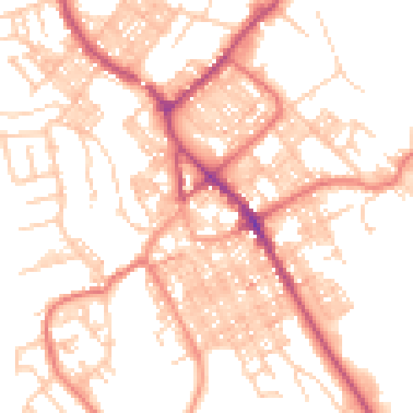
Daytime· 07:00 – 23:00
52.7dB

Night-time· 23:00 – 07:00
41.4dB