Are you a property professional?Get qualified leads from motivated homeowners.
Get started24 Keepers Lane, Codsall, Wolverhampton, WV8 2DP
1 planning record
About 24 Keepers Lane
A plain-English summary derived from public records, EPC certificates, sold prices and local data.
24 Keepers Lane is a detached house in Codsall, Wolverhampton, Wolverhampton (WV8 2DP). It has a recorded floor area of 264 m² (around 2842 sq ft), construction records dating it to 1930-1949 and council tax band F. The latest certificate (February 2015) shows a D (score 57), a step below the typical UK home. The recommended improvements would push it to C (score 80). The latest certificate is from February 2015, so improvements made since then won't be reflected.
It hasn't traded since July 1997, a hold of 29 years that's notably long for the area. Only one transfer is on record with HM Land Registry, suggesting it has stayed in the same hands for a long time. At 264 m² the property is well over the postcode median (139 m² across 23 EPCs), placing it in the larger end of the local stock. Today's modelled estimate of £743,000 sits 412.4% above the 1997 sale of £145,000. On a £-per-square-foot basis, the last sale (£51/sq ft) was about 78.1% below the postcode norm. One planning record on file: an extension approved in 2004. Past consents include an extension and a porch, meaningful when judging how the property has evolved.
Energy performance
Every EPC certificate filed against this property — current rating, recorded improvements, and where there's headroom to reach a higher band.
24 Keepers Lane's carbon output runs well above what efficient homes in the postcode produce.
EPC Expired
This certificate is over 10 years old and is no longer valid.Expired 13 Feb 2025
Planning history
Applications and permits filed against 24 Keepers Lane, Codsall, Wolverhampton, WV8 2DP, sourced from the PlanIt planning register.
24 Keepers Lane has an approved extension on the planning record.
- Nov 2004PorchFullAPPROVE Subject to Conditions
Lounge, porch, bedroom, dressingroom and en-suite extensions.
Sales history & valuation
Recorded transactions, our model's current estimate, and a quick read on what neighbouring properties have sold for.
24 Keepers Lane's modelled value sits at over four times its earliest registered sale price (1997).
Current estimate
See how we calculated this£743,000
Modelled from EPC, postcode comparables.
Last sold (1997)
£145,000
Recorded with HM Land Registry.
Sales timeline
Launch offer · 33% off
The complete analysis of 24 Keepers Lane, Codsall, Wolverhampton, WV8 2DP
Everything we know about this property, compiled into one in-depth, downloadable report.
Detailed AI analysis
An AI-written breakdown of everything that matters
Versus other Keepers Lane homes
Four headline reads against 23 similar houses on this street, drawn from the latest EPC and Land Registry data.
24 Keepers Lane is notably below the street on price per m².
Price per m²
£549
Street avg £3,037
Floor Area
264 m²
Street avg 137 m²
Habitable Rooms
7 rooms
Similar properties nearby
A handful of close matches in the same postcode area, ranked by likeness on bedrooms, type and floor area.
The neighbourhood at a glance
A condensed read of the local area. Each tile links through to the full breakdown on the Wolverhampton district page.
Rail-style transport is unusually close for this postcode.
Crime
4/mo
Steady year-on-year across the wider district.
Nearest stop
0.2 km
Bilbrook Rail Station — railway station.
Road noise across the postcode
Modelled day and night-time noise levels around WV8 2DP from Defra's strategic mapping. The pin marks this postcode's centroid.
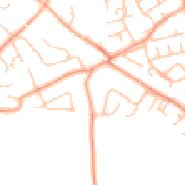
Daytime· 07:00 – 23:00
47.0dB

Everything within walking distance
Schools, transport stops and scenic spots near this property — 44 points of interest in total.
Common questions
The questions buyers, sellers and homeowners most often ask about 24 Keepers Lane, Codsall, Wolverhampton, WV8 2DP. Each answer is also embedded as structured data for search engines.
