Are you a property professional?Get qualified leads from motivated homeowners.
Get startedFlat 1, 101 Midhurst Road, London, W13 9TJ
About Flat 1
A plain-English summary derived from public records, EPC certificates, sold prices and local data.
Flat 1 is a mid-terrace house in London (W13 9TJ). It has a recorded floor area of 114 m² (around 1227 sq ft), construction records dating it to 1930-1949 and council tax band D. The latest certificate (April 2021) shows a C (score 72). When first surveyed in May 2010 the rating was E, the property has climbed 2 bands since. Between certificates, roof efficiency went from Very Poor to Average; while window efficiency dropped from Good to Average.
Untraded for 31 years, with the last transfer in June 1995. Only one transfer is on record with HM Land Registry, suggesting it has stayed in the same hands for a long time. Today's modelled estimate of £820,000 sits 394% above the 1995 sale of £166,000. On a £-per-square-foot basis, the last sale (£135/sq ft) was about 61.1% below the postcode norm. At 114 m² it's 20% larger than the typical home in the postcode (95 m² median across 23 EPCs).
Energy performance
Every EPC certificate filed against this property — current rating, recorded improvements, and where there's headroom to reach a higher band.
Current Certificate(1 of 2)
Apr 2021
EPC Rating
A
B
C
C72
D
E
F
G
Main Heating
Gas
Main Fuel
Gas
Hot Water
Good
Windows
Average
CO2 Emissions
3.4 t/year
Occupancy
Rented
Sales history & valuation
Recorded transactions, our model's current estimate, and a quick read on what neighbouring properties have sold for.
Flat 1's modelled value sits at over four times its earliest registered sale price (1995).
Current estimate
See how we calculated this£820,000
Modelled from EPC, postcode comparables.
Last sold (1995)
£166,000
Recorded with HM Land Registry.
Sales timeline
Launch offer · 33% off
The complete analysis of Flat 1, 101 Midhurst Road, London, W13 9TJ
Everything we know about this property, compiled into one in-depth, downloadable report.
Detailed AI analysis
An AI-written breakdown of everything that matters
Versus other Midhurst Road homes
Four headline reads against 13 similar flats on this street, drawn from the latest EPC and Land Registry data.
Flat 1 outperforms the street on years held by a wide margin.
Price per m²
£1,456
Street avg £3,865
Floor Area
114 m²
Street avg 56 m²
Habitable Rooms
7 rooms
Similar properties nearby
A handful of close matches in the same postcode area, ranked by likeness on bedrooms, type and floor area.
The neighbourhood at a glance
A condensed read of the local area. Each tile links through to the full breakdown on the London district page.
Rail-style transport is unusually close for this postcode.
Crime
4/mo
Rising year-on-year across the wider district.
Nearest stop
0.4 km
Hessel Road — bus stop.
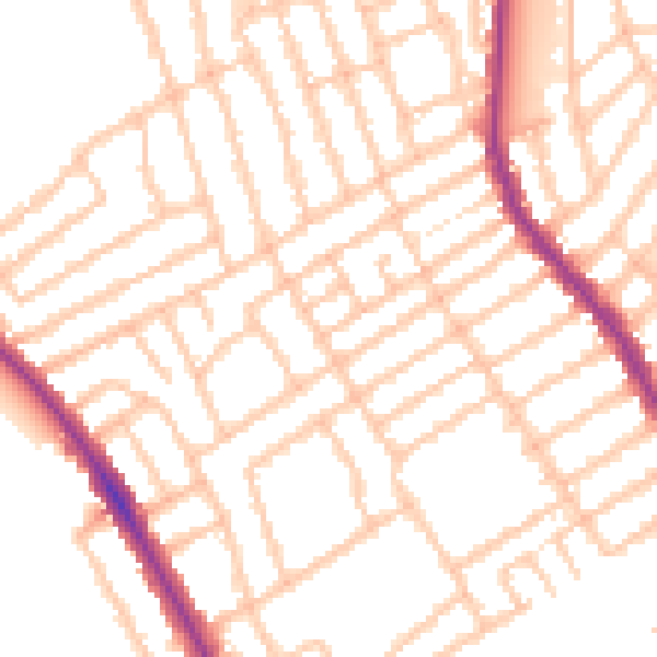
Road noise across the postcode
Modelled day and night-time noise levels around W13 9TJ from Defra's strategic mapping. The pin marks this postcode's centroid.
Daytime· 07:00 – 23:00
51.8dB

Everything within walking distance
Schools, transport stops and scenic spots near this property — 69 points of interest in total.
Common questions
The questions buyers, sellers and homeowners most often ask about Flat 1, 101 Midhurst Road, London, W13 9TJ. Each answer is also embedded as structured data for search engines.
