Are you a property professional?Get qualified leads from motivated homeowners.
Get startedBurnham Brae, Old Lane, St Johns, Crowborough, TN6 1RD
3 sales on record
About Burnham Brae
A plain-English summary derived from public records, EPC certificates, sold prices and local data.
Burnham Brae is a detached house in St. Johns, Crowborough, Crowborough (TN6 1RD). It has a recorded floor area of 228 m² (around 2454 sq ft), construction records dating it to 1950-1966 and council tax band G. The latest certificate (June 2023) shows a C (score 72). When first surveyed in October 2015 the rating was D, the property has climbed 1 band since. Between certificates, hot-water efficiency went from Average to Good and lighting went from Poor to Very Good; while wall efficiency dropped from Good to Average. The recommended improvements would push it to B (score 89).
Sale prices here have outpaced England HPI: 7% per year against 0.1% for the wider region. Today's modelled estimate of £961,000 is 13.6% below the 2025 sale of £1,111,666, an unusual pattern given regional price growth and worth checking against the EPC condition. On a £-per-square-foot basis, the last sale (£453/sq ft) was about 15.6% above the typical sold price in the postcode. At 228 m² the property is well over the postcode median (165 m² across 3 EPCs), placing it in the larger end of the local stock. A recent sale: £1,111,666 in October 2025. One historical planning record sits against the property in 2022.
Energy performance
Every EPC certificate filed against this property — current rating, recorded improvements, and where there's headroom to reach a higher band.
Burnham Brae's carbon output runs well above what efficient homes in the postcode produce.
Current Certificate(1 of 2)
Jun 2023
EPC Rating
A
B
C
C72
D
E
F
G
Main Heating
Gas
Main Fuel
Gas
Hot Water
Good
Windows
Average
CO2 Emissions
6.6 t/year
Occupancy
Owner Occupied
Planning history
Applications and permits filed against Burnham Brae, Old Lane, St Johns, Crowborough, TN6 1RD, sourced from the PlanIt planning register.
- Aug 2022FullApproval
RAISED DECKING TO REAR OF PROPERTY
Sales history & valuation
Recorded transactions, our model's current estimate, and a quick read on what neighbouring properties have sold for.
Latest sale on Burnham Brae was the highest on Land Registry record across the postcode.
Current estimate
See how we calculated this£961,000
Modelled from EPC, postcode comparables and a sale-price growth of 7.0% per year over 29 years.
Last sold (2025)
£1,111,666
Growth on file: 7.0% per year over 29 years.
Sales timeline
Versus other Old Lane homes
Four headline reads against 3 similar houses on this street, drawn from the latest EPC and Land Registry data.
Years Held for Burnham Brae lags the street by a wide margin.
Price per m²
£4,876
Street avg £4,577
Floor Area
228 m²
Street avg 162 m²
Habitable Rooms
8 rooms
Street avg 7 rooms
Similar properties nearby
A handful of close matches in the same postcode area, ranked by likeness on bedrooms, type and floor area.
The neighbourhood at a glance
A condensed read of the local area. Each tile links through to the full breakdown on the Crowborough district page.
Daytime road noise here sits well below conversation level — a quiet pocket of the postcode.
Crime
5/mo
Steady year-on-year across the wider district.
Nearest stop
0.6 km
Road noise across the postcode
Modelled day and night-time noise levels around TN6 1RD from Defra's strategic mapping. The pin marks this postcode's centroid.
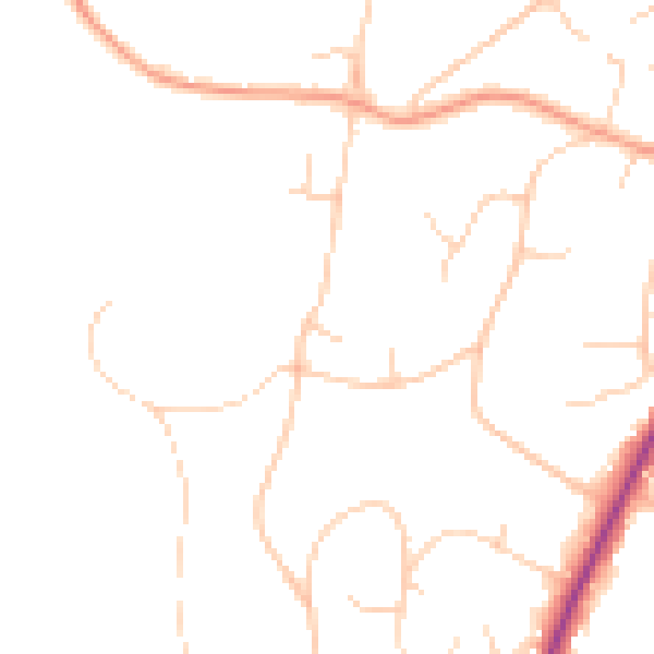
Daytime· 07:00 – 23:00
45.8dB

Everything within walking distance
Schools, transport stops and scenic spots near this property — 35 points of interest in total.
Beautiful places to visit nearby
Curated scenic spots within reach of this postcode, served by Beautifulplaces.ai. Photography and tagging come from their open dataset.
Common questions
The questions buyers, sellers and homeowners most often ask about Burnham Brae, Old Lane, St Johns, Crowborough, TN6 1RD. Each answer is also embedded as structured data for search engines.