Are you a property professional?Get qualified leads from motivated homeowners.
Get started3 Freshwater Road, Wandsworth, London, SW17 9TG
4 sales on record
About 3 Freshwater Road
A plain-English summary derived from public records, EPC certificates, sold prices and local data.
3 Freshwater Road is a semi-detached house in Wandsworth, London, London (SW17 9TG). It has a recorded floor area of 82 m² (around 883 sq ft), construction records dating it to 1900-1929 and council tax band D. The latest certificate (August 2022) shows a D (score 57), a step below the typical UK home. The rating has held steady at D across 2 certificates since April 2009. Between certificates, roof efficiency dropped from Good to Average. The recommended improvements would push it to C (score 79).
Sale prices here have outpaced London HPI: 6.1% per year against 0% for the wider region. On a £-per-square-foot basis, the last sale (£708/sq ft) was about 109.3% above the typical sold price in the postcode. Last sale on file: £625,000 in September 2022. Across the public record there are 4 sales, relatively high churn for a single property. That sale was during the post-pandemic price surge, when transactions cleared materially above pre-2020 trend. 2 planning records sit against the property, 2 approved, 0 refused. Past consents include an extension, meaningful when judging how the property has evolved.
Energy performance
Every EPC certificate filed against this property — current rating, recorded improvements, and where there's headroom to reach a higher band.
Current Certificate(1 of 2)
Aug 2022
EPC Rating
A
B
C
D
D57
E
F
G
Main Heating
Gas
Main Fuel
Gas
Hot Water
Good
Windows
Good
CO2 Emissions
3.8 t/year
Occupancy
Owner Occupied
Planning history
Applications and permits filed against 3 Freshwater Road, Wandsworth, London, SW17 9TG, sourced from the PlanIt planning register.
3 Freshwater Road has an approved single-storey rear extension on the planning record.
- Sept 2022ExtensionOutlineApprove No Conditions
Extension: Single storey · Rear of property
Erection of a replacement single-storey rear extension.
Sales history & valuation
Recorded transactions, our model's current estimate, and a quick read on what neighbouring properties have sold for.
Sale price has at least doubled since 2006.
Current estimate
See how we calculated this£650,000
Modelled from EPC, postcode comparables and a sale-price growth of 6.1% per year over 16 years.
Last sold (2022)
£625,000
Growth on file: 6.1% per year over 16 years.
Sales timeline
Full property reportLaunch offer · 33% off
The complete analysis of 3 Freshwater Road, Wandsworth, London, SW17 9TG
Everything we know about this property, compiled into one in-depth, downloadable report.
Detailed AI analysis
Similar properties nearby
A handful of close matches in the same postcode area, ranked by likeness on bedrooms, type and floor area.
The neighbourhood at a glance
A condensed read of the local area. Each tile links through to the full breakdown on the London district page.
Rail-style transport is unusually close for this postcode.
Crime
8/mo
Rising year-on-year across the wider district.
Nearest stop
0.0 km
Eastbourne Road — bus stop.
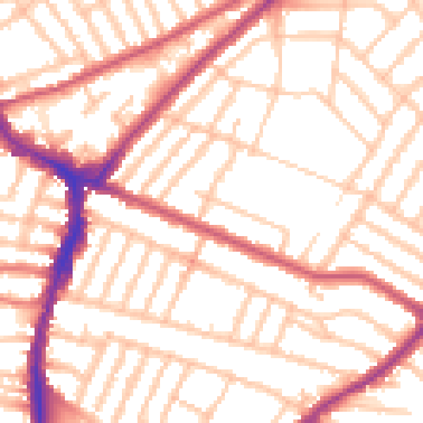
Road noise across the postcode
Modelled day and night-time noise levels around SW17 9TG from Defra's strategic mapping. The pin marks this postcode's centroid.
Daytime· 07:00 – 23:00
53.4dB

Everything within walking distance
Schools, transport stops and scenic spots near this property — 89 points of interest in total.
Common questions
The questions buyers, sellers and homeowners most often ask about 3 Freshwater Road, Wandsworth, London, SW17 9TG. Each answer is also embedded as structured data for search engines.