Are you a property professional?Get qualified leads from motivated homeowners.
Get started1 Damson Mews, Wandsworth, London, SW17 0FP
EPC B
About 1 Damson Mews
A plain-English summary derived from public records, EPC certificates, sold prices and local data.
1 Damson Mews is a detached house in Wandsworth, London, London (SW17 0FP). It has a recorded floor area of 123 m² (around 1324 sq ft) and construction records dating it to 2022. The latest certificate (September 2022) returns a B (score 84), comfortably above the UK average. The recommended improvements would push it to A (score 92).
Energy performance
Every EPC certificate filed against this property — current rating, recorded improvements, and where there's headroom to reach a higher band.
1 Damson Mews's carbon output is low for the local stock.
EPC Rating
A
B
B84
C
D
E
F
G
Main Heating
—
Main Fuel
—
Hot Water
Very Good
Windows
Very Good
CO2 Emissions
1.1 t/year
Occupancy
—
Sales history & valuation
Recorded transactions, our model's current estimate, and a quick read on what neighbouring properties have sold for.
1 Damson Mews has no Land Registry sales on file, suggesting it has stayed in the same hands since registration began.
Current estimate
See how we calculated this£1,063,000
Modelled from EPC, postcode comparables.
No sales recorded with HM Land Registry
That can mean the property has never traded since the registry began publishing in 1995, was a new build that hasn't been registered yet, or is held in the same hands long-term.
Full property reportLaunch offer · 33% off
The complete analysis of 1 Damson Mews, Wandsworth, London, SW17 0FP
Everything we know about this property, compiled into one in-depth, downloadable report.
Detailed AI analysis
Similar properties nearby
A handful of close matches in the same postcode area, ranked by likeness on bedrooms, type and floor area.
The neighbourhood at a glance
A condensed read of the local area. Each tile links through to the full breakdown on the London district page.
Rail-style transport is unusually close for this postcode.
Crime
8/mo
Rising year-on-year across the wider district.
Nearest stop
0.1 km
Springfield University Hospital — bus stop.
Road noise across the postcode
Modelled day and night-time noise levels around SW17 0FP from Defra's strategic mapping. The pin marks this postcode's centroid.
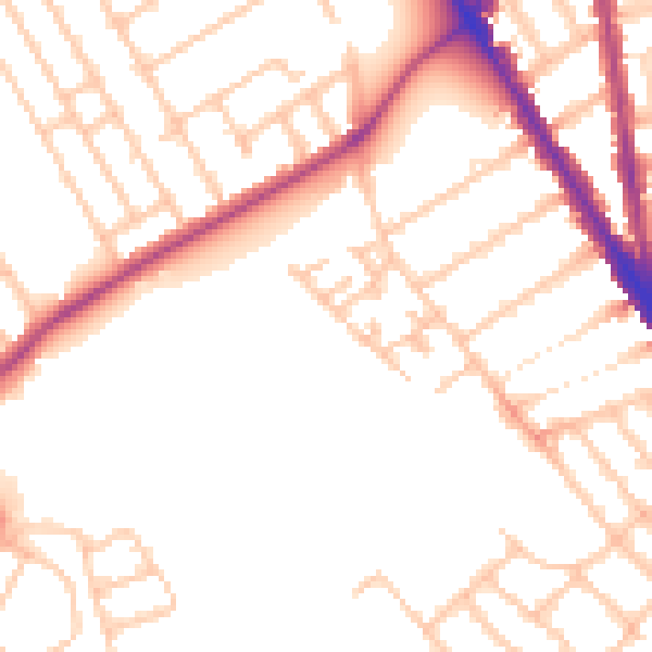
Daytime· 07:00 – 23:00
50.4dB

Everything within walking distance
Schools, transport stops and scenic spots near this property — 87 points of interest in total.
Common questions
The questions buyers, sellers and homeowners most often ask about 1 Damson Mews, Wandsworth, London, SW17 0FP. Each answer is also embedded as structured data for search engines.