Are you a property professional?Get qualified leads from motivated homeowners.
Get started12 Blackshaw Road, Wandsworth, London, SW17 0DE
1 planning record
About 12 Blackshaw Road
A plain-English summary derived from public records, EPC certificates, sold prices and local data.
12 Blackshaw Road is a three-bedroom mid-terrace house in Wandsworth, London, London (SW17 0DE). It has a recorded floor area of 74 m² (around 797 sq ft), construction records dating it to 1900-1929 and council tax band C. The latest certificate (April 2024) shows a D (score 67), on the cusp of jumping into the C band. The rating has held steady at D across 2 certificates since September 2009. Between certificates, roof efficiency went from Poor to Average, window efficiency went from Very Poor to Average and hot-water efficiency went from Average to Good; while wall efficiency dropped from Average to Very Poor. The recommended improvements would lift it to B (score 86), a 2-band jump.
Held since July 2000 — that's 26 years off the open market, well above the local norm. Only one transfer is on record with HM Land Registry, suggesting it has stayed in the same hands for a long time. Today's modelled estimate of £523,000 sits 704.6% above the 2000 sale of £65,000. On a £-per-square-foot basis, the last sale (£82/sq ft) was about 69.7% below the postcode norm. One planning record on file: an extension approved in 2022. Past consents include an extension, meaningful when judging how the property has evolved.
What this property has
Pulled from EPC certificates, claim submissions and our property model. Empty categories are hidden — we only show what's known.
Inside
- Bedrooms3
Energy performance
Every EPC certificate filed against this property — current rating, recorded improvements, and where there's headroom to reach a higher band.
Recommended upgrades on file would lift this property by multiple EPC bands.
Current Certificate(1 of 2)
Apr 2024
EPC Rating
A
B
C
D
D67
E
F
G
Main Heating
Gas
Main Fuel
Gas
Hot Water
Good
Windows
Average
CO2 Emissions
2.8 t/year
Occupancy
Owner Occupied
Planning history
Applications and permits filed against 12 Blackshaw Road, Wandsworth, London, SW17 0DE, sourced from the PlanIt planning register.
- Oct 2022ExtensionFullApprove with Conditions
Extension: Single storey · Rear of property
Alterations including erection of a roof extension (with french doors and safety railing) to the main rear roof; erection of a single storey rear extension.
Sales history & valuation
Recorded transactions, our model's current estimate, and a quick read on what neighbouring properties have sold for.
12 Blackshaw Road's modelled value sits at over four times its earliest registered sale price (2000).
Current estimate
See how we calculated this£523,000
Modelled from EPC, postcode comparables.
Last sold (2000)
£65,000
Recorded with HM Land Registry.
Sales timeline
Full property reportLaunch offer · 33% off
The complete analysis of 12 Blackshaw Road, Wandsworth, London, SW17 0DE
Everything we know about this property, compiled into one in-depth, downloadable report.
Detailed AI analysis
Versus other Blackshaw Road homes
Four headline reads against 31 similar houses on this street, drawn from the latest EPC and Land Registry data.
On price per m², 12 Blackshaw Road runs well behind the street norm.
Price per m²
£878
Street avg £4,407
Floor Area
74 m²
Street avg 87 m²
Habitable Rooms
5 rooms
Similar properties nearby
A handful of close matches in the same postcode area, ranked by likeness on bedrooms, type and floor area.
The neighbourhood at a glance
A condensed read of the local area. Each tile links through to the full breakdown on the London district page.
Rail-style transport is unusually close for this postcode.
Crime
8/mo
Rising year-on-year across the wider district.
Nearest stop
0.1 km
St George's Hospital — bus stop.
Road noise across the postcode
Modelled day and night-time noise levels around SW17 0DE from Defra's strategic mapping. The pin marks this postcode's centroid.
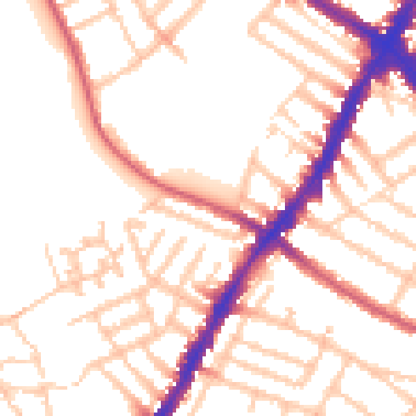
Daytime· 07:00 – 23:00
52.5dB

Everything within walking distance
Schools, transport stops and scenic spots near this property — 86 points of interest in total.
Common questions
The questions buyers, sellers and homeowners most often ask about 12 Blackshaw Road, Wandsworth, London, SW17 0DE. Each answer is also embedded as structured data for search engines.