Are you a property professional?Get qualified leads from motivated homeowners.
Get started2 Woodrow Way, Chesterton, Newcastle, ST5 7AP
Extendable
About 2 Woodrow Way
A plain-English summary derived from public records, EPC certificates, sold prices and local data.
2 Woodrow Way is a four-bedroom detached house in Chesterton, Newcastle, Newcastle (ST5 7AP). It has a recorded floor area of 121 m² (around 1302 sq ft), construction records dating it to 2003-2006 and council tax band D. The latest certificate (July 2020) shows a C (score 75), near the top of the C band. The rating has held steady at C across 2 certificates since September 2009. Between certificates, lighting went from Good to Very Good; while hot-water efficiency dropped from Very Good to Good and main heating dropped from Very Good to Good. The recommended improvements would push it to B (score 84). Other recorded features include attached land beyond the plot. Our model identifies extension potential, subject to local planning policy.
Sale prices here have outpaced England HPI: 1.3% per year against 0% for the wider region. Today's modelled estimate of £334,000 is 33.6% above the 2020 sale price. On a £-per-square-foot basis, the last sale (£192/sq ft) was about 36.6% above the typical sold price in the postcode. Sold October 2020 for £250,000.
What this property has
Pulled from EPC certificates, claim submissions and our property model. Empty categories are hidden — we only show what's known.
Inside
- Bedrooms4
- Bathrooms2
- Open-plan layoutYes
- Dining roomYes
Energy performance
Every EPC certificate filed against this property — current rating, recorded improvements, and where there's headroom to reach a higher band.
Current Certificate(1 of 2)
Jul 2020
EPC Rating
A
B
C
C75
D
E
F
G
Main Heating
Gas
Main Fuel
Gas
Hot Water
Good
Windows
Good
CO2 Emissions
3.3 t/year
Occupancy
Owner Occupied
Sales history & valuation
Recorded transactions, our model's current estimate, and a quick read on what neighbouring properties have sold for.
2 Woodrow Way's sale-price growth has lagged the wider UK trajectory across its history on file.
Current estimate
See how we calculated this£334,000
Modelled from EPC, postcode comparables and a sale-price growth of 1.3% per year over 16 years.
Last sold (2020)
£250,000
Growth on file: 1.3% per year over 16 years.
Sales timeline
Versus other Woodrow Way homes
Four headline reads against 32 similar houses on this street, drawn from the latest EPC and Land Registry data.
2 Woodrow Way outperforms the street on habitable rooms by a wide margin.
Price per m²
£2,066
Street avg £1,845
Floor Area
121 m²
Street avg 117 m²
Habitable Rooms
8 rooms
Street avg 6 rooms
Similar properties nearby
A handful of close matches in the same postcode area, ranked by likeness on bedrooms, type and floor area.
The neighbourhood at a glance
A condensed read of the local area. Each tile links through to the full breakdown on the Newcastle district page.
Crime
3/mo
Steady year-on-year across the wider district.
Nearest stop
0.1 km
Woodrow Way — bus stop.
Road noise across the postcode
Modelled day and night-time noise levels around ST5 7AP from Defra's strategic mapping. The pin marks this postcode's centroid.
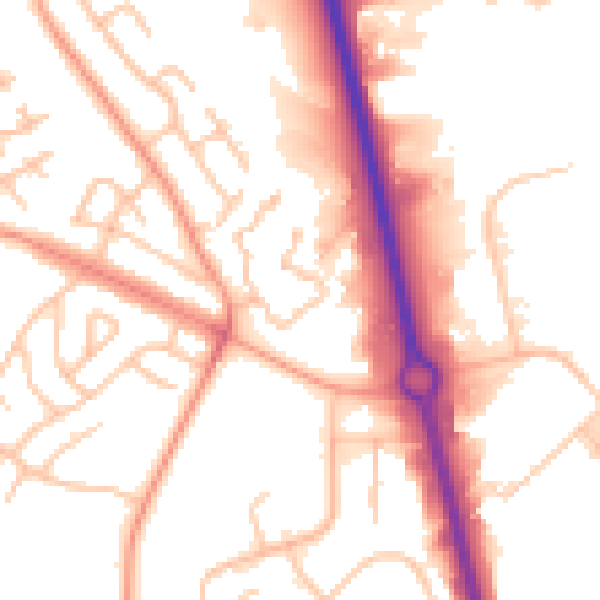
Daytime· 07:00 – 23:00
53.6dB

Everything within walking distance
Schools, transport stops and scenic spots near this property — 46 points of interest in total.
Beautiful places to visit nearby
Curated scenic spots within reach of this postcode, served by Beautifulplaces.ai. Photography and tagging come from their open dataset.
Common questions
The questions buyers, sellers and homeowners most often ask about 2 Woodrow Way, Chesterton, Newcastle, ST5 7AP. Each answer is also embedded as structured data for search engines.