Are you a property professional?Get qualified leads from motivated homeowners.
Get started17 Claudius Close, Andover, SP10 5LB
4 sales on record
About 17 Claudius Close
A plain-English summary derived from public records, EPC certificates, sold prices and local data.
17 Claudius Close is a three-bedroom end-of-terrace house in Andover (SP10 5LB). It has a recorded floor area of 103 m² (around 1108 sq ft), construction records dating it to 1976-1982 and council tax band C. The latest certificate (November 2010) shows a C (score 70). When first surveyed in May 2009 the rating was D, the property has climbed 1 band since. Between certificates, roof efficiency went from Poor to Good; while lighting dropped from Poor to Very Poor. The latest certificate is from November 2010, so improvements made since then won't be reflected. The home occupies a cul-de-sac position.
Held since April 2011 — that's 15 years off the open market, well above the local norm. Across the public record there are 4 sales, relatively high churn for a single property. Sale prices here have outpaced England HPI: 7.9% per year against 0% for the wider region. Today's modelled estimate of £289,000 sits 65.6% above the 2011 sale of £174,500. On a £-per-square-foot basis, the last sale (£158/sq ft) was about 21.7% below the postcode norm. At 103 m² it's 18.3% larger than the typical home in the postcode (87 m² median across 12 EPCs). One historical planning record sits against the property in 2003.
What this property has
Pulled from EPC certificates, claim submissions and our property model. Empty categories are hidden — we only show what's known.
Inside
- Bedrooms3
- Dining roomYes
- CloakroomYes
Outside
- Private garden
Energy performance
Every EPC certificate filed against this property — current rating, recorded improvements, and where there's headroom to reach a higher band.
17 Claudius Close's EPC is over a decade old — improvements since won't be reflected.
EPC Expired
This certificate is over 10 years old and is no longer valid.Expired 04 Nov 2020
Planning history
Applications and permits filed against 17 Claudius Close, Andover, SP10 5LB, sourced from the PlanIt planning register.
- Jun 2003OutbuildingFullPERMISSION subject to notes
Retention of shed in rear garden
Sales history & valuation
Recorded transactions, our model's current estimate, and a quick read on what neighbouring properties have sold for.
Sale price has grown by over 3x since 1996.
Current estimate
See how we calculated this£289,000
Modelled from EPC, postcode comparables and a sale-price growth of 7.9% per year over 15 years.
Last sold (2011)
£174,500
Growth on file: 7.9% per year over 15 years.
Sales timeline
Launch offer · 33% off
The complete analysis of 17 Claudius Close, Andover, SP10 5LB
Everything we know about this property, compiled into one in-depth, downloadable report.
Detailed analysis
A written breakdown of everything that matters
Versus other Claudius Close homes
Four headline reads against 12 similar houses on this street, drawn from the latest EPC and Land Registry data.
On floor area, 17 Claudius Close stands well clear of the street.
Price per m²
£1,696
Street avg £2,670
Floor Area
103 m²
Street avg 87 m²
Habitable Rooms
5 rooms
Similar properties nearby
A handful of close matches in the same postcode area, ranked by likeness on bedrooms, type and floor area.
The neighbourhood at a glance
A condensed read of the local area. Each tile links through to the full breakdown on the Andover district page.
Crime
4/mo
Steady year-on-year across the wider district.
Nearest stop
0.1 km
Primary School — bus stop.
Road noise across the postcode
Modelled day and night-time noise levels around SP10 5LB from Defra's strategic mapping. The pin marks this postcode's centroid.
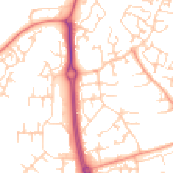
Daytime· 07:00 – 23:00
51.3dB

Everything within walking distance
Schools, transport stops and scenic spots near this property — 45 points of interest in total.
Common questions
The questions buyers, sellers and homeowners most often ask about 17 Claudius Close, Andover, SP10 5LB. Each answer is also embedded as structured data for search engines.
