Are you a property professional?Get qualified leads from motivated homeowners.
Get started16 Beckett Road, Andover, SP10 3HT
3 sales on record
About 16 Beckett Road
A plain-English summary derived from public records, EPC certificates, sold prices and local data.
16 Beckett Road is a three-bedroom end-of-terrace house in Andover (SP10 3HT). It has a recorded floor area of 77 m² (around 824 sq ft), construction records dating it to 1996-2002 and council tax band C. The latest certificate (April 2009) shows a C (score 74). The latest certificate is from April 2009, so improvements made since then won't be reflected.
Sale prices here have outpaced England HPI: 2.5% per year against 0% for the wider region. Today's modelled estimate of £292,000 sits 57% above the 2014 sale of £186,000. On a £-per-square-foot basis, the last sale (£226/sq ft) was about 17.4% above the typical sold price in the postcode. Last sold in March 2014, so it's been off the market for around 12 years.
What this property has
Pulled from EPC certificates, claim submissions and our property model. Empty categories are hidden — we only show what's known.
Inside
- Bedrooms3
- Dining roomYes
- CloakroomYes
Outside
- Private garden
Energy performance
Every EPC certificate filed against this property — current rating, recorded improvements, and where there's headroom to reach a higher band.
16 Beckett Road's EPC is over a decade old — improvements since won't be reflected.
EPC Expired
This certificate is over 10 years old and is no longer valid.Expired 30 Apr 2019
Sales history & valuation
Recorded transactions, our model's current estimate, and a quick read on what neighbouring properties have sold for.
16 Beckett Road valuation sits well clear of the typical sold price in this postcode.
Current estimate
See how we calculated this£292,000
Modelled from EPC, postcode comparables and a sale-price growth of 2.5% per year over 12 years.
Last sold (2014)
£186,000
Growth on file: 2.5% per year over 12 years.
Sales timeline
Launch offer · 33% off
Buying 16 Beckett Road, Andover, SP10 3HT? Know what you're getting into
Everything a buyer needs to know about this property, compiled into one in-depth report so there are no surprises after you offer.
Spot red flags before you buy
An AI-written breakdown of everything that matters
Versus other Beckett Road homes
Four headline reads against 35 similar houses on this street, drawn from the latest EPC and Land Registry data.
Price per m²
£2,430
Street avg £2,761
Floor Area
77 m²
Street avg 82 m²
Habitable Rooms
4 rooms
Street avg 4 rooms
Similar properties nearby
A handful of close matches in the same postcode area, ranked by likeness on bedrooms, type and floor area.
The neighbourhood at a glance
A condensed read of the local area. Each tile links through to the full breakdown on the Andover district page.
Rail-style transport is unusually close for this postcode.
Crime
4/mo
Steady year-on-year across the wider district.
Nearest stop
0.2 km
Andover Rail Station — railway station.
Road noise across the postcode
Modelled day and night-time noise levels around SP10 3HT from Defra's strategic mapping. The pin marks this postcode's centroid.
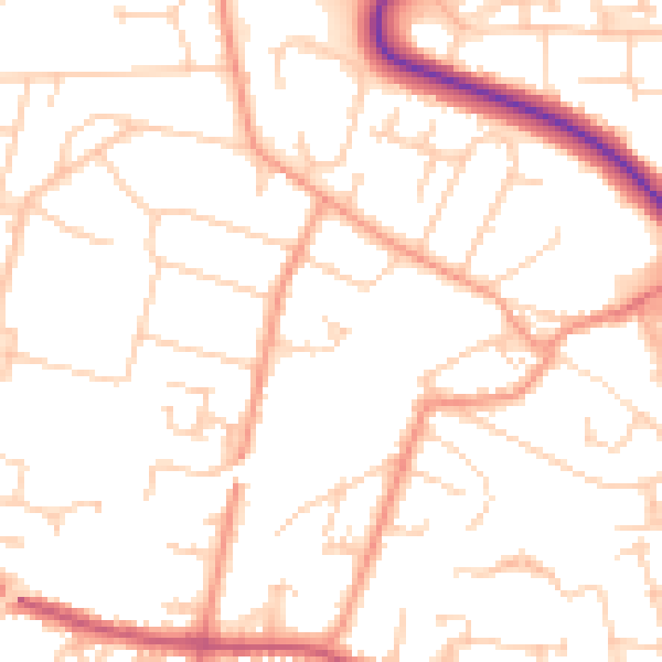
Daytime· 07:00 – 23:00
51.0dB

Everything within walking distance
Schools, transport stops and scenic spots near this property — 46 points of interest in total.
Common questions
The questions buyers, sellers and homeowners most often ask about 16 Beckett Road, Andover, SP10 3HT. Each answer is also embedded as structured data for search engines.
