Are you a property professional?Get qualified leads from motivated homeowners.
Get started19 Byng Walk, Andover, SP10 1PR
About 19 Byng Walk
A plain-English summary derived from public records, EPC certificates, sold prices and local data.
19 Byng Walk is a five-bedroom end-of-terrace house in Andover (SP10 1PR). It has a recorded floor area of 117 m² (around 1259 sq ft) and construction records dating it to 1967-1975. The latest certificate (September 2017) shows a D (score 60), on the cusp of jumping into the C band. The recommended improvements would push it to C (score 79).
Sale prices here have outpaced England HPI: 2.7% per year against 0.1% for the wider region. Today's modelled estimate of £311,000 is 24.4% above the 2025 sale price. On a £-per-square-foot basis, the last sale (£199/sq ft) was about 28.5% above the typical sold price in the postcode. At 117 m² the property is well over the postcode median (86 m² across 24 EPCs), placing it in the larger end of the local stock. 5 bedrooms is on the larger side for this postcode, where 3 is the typical count. It changed hands recently, sold August 2025 for £250,000.
What this property has
Pulled from EPC certificates, claim submissions and our property model. Empty categories are hidden — we only show what's known.
Inside
- Bedrooms5
- Bathrooms2
Outside
- Private gardenrear
Energy performance
Every EPC certificate filed against this property — current rating, recorded improvements, and where there's headroom to reach a higher band.
EPC Rating
A
B
C
D
D60
E
F
G
Main Heating
Gas
Main Fuel
Gas
Hot Water
Good
Windows
Good
CO2 Emissions
5.5 t/year
Occupancy
Owner Occupied
Sales history & valuation
Recorded transactions, our model's current estimate, and a quick read on what neighbouring properties have sold for.
19 Byng Walk valuation sits well clear of the typical sold price in this postcode.
Current estimate
See how we calculated this£311,000
Modelled from EPC, postcode comparables and a sale-price growth of 2.7% per year over 8 years.
Last sold (2025)
£250,000
Growth on file: 2.7% per year over 8 years.
Sales timeline
Launch offer · 33% off
Buying 19 Byng Walk, Andover, SP10 1PR? Know what you're getting into
Everything a buyer needs to know about this property, compiled into one in-depth report so there are no surprises after you offer.
Spot red flags before you buy
An AI-written breakdown of everything that matters
Versus other Byng Walk homes
Four headline reads against 24 similar houses on this street, drawn from the latest EPC and Land Registry data.
On years held, 19 Byng Walk runs well behind the street norm.
Price per m²
£2,137
Street avg £2,193
Floor Area
117 m²
Street avg 85 m²
Habitable Rooms
6 rooms
Street avg 5 rooms
Similar properties nearby
A handful of close matches in the same postcode area, ranked by likeness on bedrooms, type and floor area.
The neighbourhood at a glance
A condensed read of the local area. Each tile links through to the full breakdown on the Andover district page.
Crime
4/mo
Steady year-on-year across the wider district.
Nearest stop
0.1 km
Springfield Close — bus stop.
Road noise across the postcode
Modelled day and night-time noise levels around SP10 1PR from Defra's strategic mapping. The pin marks this postcode's centroid.
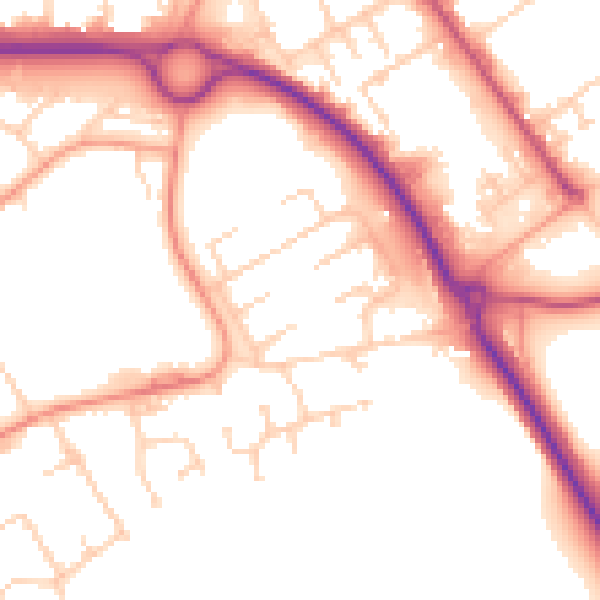
Daytime· 07:00 – 23:00
53.1dB

Everything within walking distance
Schools, transport stops and scenic spots near this property — 41 points of interest in total.
Common questions
The questions buyers, sellers and homeowners most often ask about 19 Byng Walk, Andover, SP10 1PR. Each answer is also embedded as structured data for search engines.
