Are you a property professional?Get qualified leads from motivated homeowners.
Get started11 Corncockle Close, Melksham, SN12 7GL
3 sales on record
About 11 Corncockle Close
A plain-English summary derived from public records, EPC certificates, sold prices and local data.
11 Corncockle Close is a three-bedroom semi-detached house in Melksham (SN12 7GL). It has a recorded floor area of 87 m² (around 936 sq ft) and council tax band C. The latest certificate (April 2014) shows a C (score 80), near the top of the C band. The recommended improvements would lift it to A (score 93), a 2-band jump. The latest certificate is from April 2014, so improvements made since then won't be reflected.
Sale prices here have outpaced England HPI: 4.8% per year against 0% for the wider region. On a £-per-square-foot basis, the last sale (£330/sq ft) was about 50.9% above the typical sold price in the postcode. Sold February 2023 for £309,000.
What this property has
Pulled from EPC certificates, claim submissions and our property model. Empty categories are hidden — we only show what's known.
Inside
- Bedrooms3
- Bathrooms2
- Dining roomYes
- EnsuiteYes
Energy performance
Every EPC certificate filed against this property — current rating, recorded improvements, and where there's headroom to reach a higher band.
Recommended upgrades on file would lift this property by multiple EPC bands.
EPC Expired
This certificate is over 10 years old and is no longer valid.Expired 28 Apr 2024
Sales history & valuation
Recorded transactions, our model's current estimate, and a quick read on what neighbouring properties have sold for.
11 Corncockle Close saw 3 transfers in just over a decade — high turnover for the postcode.
Current estimate
See how we calculated this£311,000
Modelled from EPC, postcode comparables and a sale-price growth of 4.8% per year over 9 years.
Last sold (2023)
£309,000
Growth on file: 4.8% per year over 9 years.
Sales timeline
Versus other Corncockle Close homes
Four headline reads against 30 similar houses on this street, drawn from the latest EPC and Land Registry data.
On price per m², 11 Corncockle Close stands well clear of the street.
Price per m²
£3,552
Street avg £2,645
Floor Area
87 m²
Street avg 108 m²
CO₂ Emissions
1.7 t/year
Similar properties nearby
A handful of close matches in the same postcode area, ranked by likeness on bedrooms, type and floor area.
The neighbourhood at a glance
A condensed read of the local area. Each tile links through to the full breakdown on the Melksham district page.
Daytime road noise here sits well below conversation level — a quiet pocket of the postcode.
Crime
6/mo
Steady year-on-year across the wider district.
Nearest stop
0.3 km
Road noise across the postcode
Modelled day and night-time noise levels around SN12 7GL from Defra's strategic mapping. The pin marks this postcode's centroid.
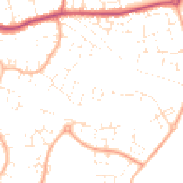
Daytime· 07:00 – 23:00
49.1dB
Everything within walking distance
Schools, transport stops and scenic spots near this property — 36 points of interest in total.
Beautiful places to visit nearby
Curated scenic spots within reach of this postcode, served by Beautifulplaces.ai. Photography and tagging come from their open dataset.
Common questions
The questions buyers, sellers and homeowners most often ask about 11 Corncockle Close, Melksham, SN12 7GL. Each answer is also embedded as structured data for search engines.