Are you a property professional?Get qualified leads from motivated homeowners.
Get started14 Anderson Drive, Rawmarsh, Rotherham, S62 7AF
About 14 Anderson Drive
A plain-English summary derived from public records, EPC certificates, sold prices and local data.
14 Anderson Drive is a semi-detached house in Rawmarsh, Rotherham, Rotherham (S62 7AF). It has a recorded floor area of 76 m² (around 816 sq ft) and council tax band B. The latest certificate (January 2012) shows a C (score 78), near the top of the C band. The latest certificate is from January 2012, so improvements made since then won't be reflected.
Today's modelled estimate of £164,000 sits 162.4% above the 2017 sale of £62,500. On a £-per-square-foot basis, the last sale (£77/sq ft) was about 52.3% below the postcode norm. At 76 m² it sits well below the postcode median (119 m² across 9 EPCs), making it one of the more compact homes locally. 9 years since the last transfer (June 2017).
Energy performance
Every EPC certificate filed against this property — current rating, recorded improvements, and where there's headroom to reach a higher band.
14 Anderson Drive's EPC is over a decade old — improvements since won't be reflected.
EPC Expired
This certificate is over 10 years old and is no longer valid.Expired 22 Jan 2022
Sales history & valuation
Recorded transactions, our model's current estimate, and a quick read on what neighbouring properties have sold for.
Latest sale on 14 Anderson Drive was the lowest on Land Registry record across the postcode.
Current estimate
See how we calculated this£164,000
Modelled from EPC, postcode comparables.
Last sold (2017)
£62,500
Recorded with HM Land Registry.
Sales timeline
Versus other Anderson Drive homes
Four headline reads against 9 similar houses on this street, drawn from the latest EPC and Land Registry data.
14 Anderson Drive is notably below the street on price per m².
Price per m²
£825
Street avg £1,798
Floor Area
76 m²
Street avg 106 m²
CO₂ Emissions
1.7 t/year
Street avg 2.4 t/year
Similar properties nearby
A handful of close matches in the same postcode area, ranked by likeness on bedrooms, type and floor area.
The neighbourhood at a glance
A condensed read of the local area. Each tile links through to the full breakdown on the Rotherham district page.
Crime
7/mo
Steady year-on-year across the wider district.
Nearest stop
0.1 km
Symonds Avenue/Hoober View — bus stop.
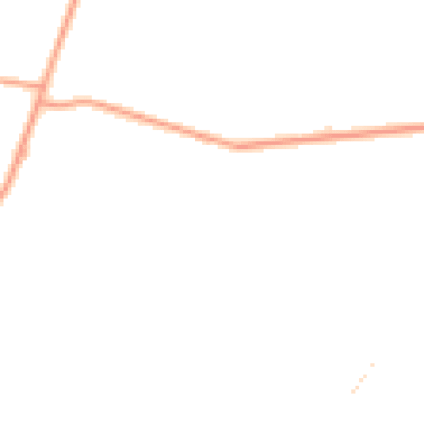
Road noise across the postcode
Modelled day and night-time noise levels around S62 7AF from Defra's strategic mapping. The pin marks this postcode's centroid.
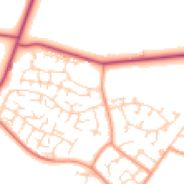
Daytime· 07:00 – 23:00
50.8dB
Everything within walking distance
Schools, transport stops and scenic spots near this property — 45 points of interest in total.
Beautiful places to visit nearby
Curated scenic spots within reach of this postcode, served by Beautifulplaces.ai. Photography and tagging come from their open dataset.
Common questions
The questions buyers, sellers and homeowners most often ask about 14 Anderson Drive, Rawmarsh, Rotherham, S62 7AF. Each answer is also embedded as structured data for search engines.