Are you a property professional?Get qualified leads from motivated homeowners.
Get started3 Beech Crescent, Glapwell, Chesterfield, S44 5LA
About 3 Beech Crescent
A plain-English summary derived from public records, EPC certificates, sold prices and local data.
3 Beech Crescent is a three-bedroom semi-detached house in Glapwell, Chesterfield, Chesterfield (S44 5LA). It has a recorded floor area of 78 m² (around 840 sq ft), construction records dating it to 1967-1975 and council tax band A. The latest certificate (November 2017) shows a C (score 69), just inside the C band. The recommended improvements would push it to B (score 84).
Held since December 2005 — that's 20 years off the open market, well above the local norm. Sale prices here have outpaced Chesterfield HPI: 12.8% per year against 0% for the wider region. Today's modelled estimate of £160,000 sits 88.2% above the 2005 sale of £85,000. At 78 m² the property is well over the postcode median (49 m² across 16 EPCs), placing it in the larger end of the local stock.
What this property has
Pulled from EPC certificates, claim submissions and our property model. Empty categories are hidden — we only show what's known.
Inside
- Bedrooms3
- Bathrooms1
Energy performance
Every EPC certificate filed against this property — current rating, recorded improvements, and where there's headroom to reach a higher band.
EPC Rating
A
B
C
C69
D
E
F
G
Main Heating
Gas
Main Fuel
Gas
Hot Water
Very Good
Windows
Average
CO2 Emissions
3.2 t/year
Occupancy
Owner Occupied
Sales history & valuation
Recorded transactions, our model's current estimate, and a quick read on what neighbouring properties have sold for.
3 Beech Crescent has more than tripled in price since its earliest registered sale in 1995.
Current estimate
See how we calculated this£160,000
Modelled from EPC, postcode comparables and a sale-price growth of 12.8% per year over 10 years.
Last sold (2005)
£85,000
Growth on file: 12.8% per year over 10 years.
Sales timeline
Versus other Beech Crescent homes
Four headline reads against 16 similar houses on this street, drawn from the latest EPC and Land Registry data.
3 Beech Crescent outperforms the street on floor area by a wide margin.
EPC Rating
69 (C)
Street avg 66 (D)
Floor Area
78 m²
Street avg 50 m²
CO₂ Emissions
3.2 t/year
Similar properties nearby
A handful of close matches in the same postcode area, ranked by likeness on bedrooms, type and floor area.
The neighbourhood at a glance
A condensed read of the local area. Each tile links through to the full breakdown on the Chesterfield district page.
Daytime road noise here sits well below conversation level — a quiet pocket of the postcode.
Crime
3/mo
Steady year-on-year across the wider district.
Nearest stop
0.1 km
Road noise across the postcode
Modelled day and night-time noise levels around S44 5LA from Defra's strategic mapping. The pin marks this postcode's centroid.
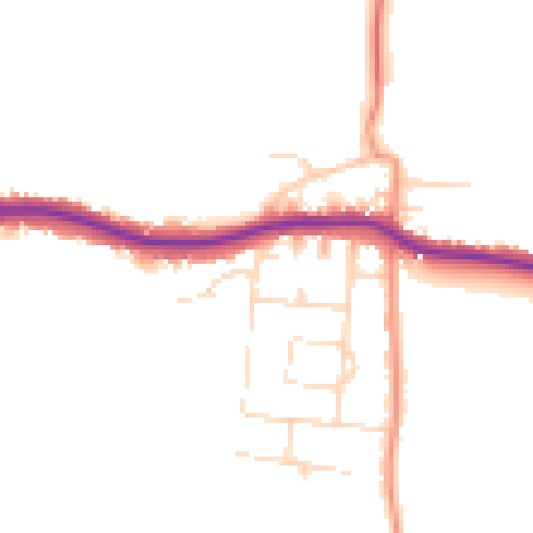
Daytime· 07:00 – 23:00
47.3dB

Everything within walking distance
Schools, transport stops and scenic spots near this property — 33 points of interest in total.
Beautiful places to visit nearby
Curated scenic spots within reach of this postcode, served by Beautifulplaces.ai. Photography and tagging come from their open dataset.
Common questions
The questions buyers, sellers and homeowners most often ask about 3 Beech Crescent, Glapwell, Chesterfield, S44 5LA. Each answer is also embedded as structured data for search engines.