Are you a property professional?Get qualified leads from motivated homeowners.
Get startedOak Tree Villa, Holymoor Road, Holymoorside, Chesterfield, S42 7DN
EPC B
About Oak Tree Villa
A plain-English summary derived from public records, EPC certificates, sold prices and local data.
Oak Tree Villa is a detached house in Holymoorside, Chesterfield, Chesterfield (S42 7DN). It has a recorded floor area of 325 m² (around 3498 sq ft) and construction records dating it to 2023. The latest certificate (May 2023) returns a high B (score 86), putting the home a stone's throw from an A rating.
At 325 m² the property is well over the postcode median (88 m² across 16 EPCs), placing it in the larger end of the local stock. Its energy rating outperforms most of the postcode (better than 81% of similar EPCs). On a £-per-square-foot basis, the last sale (£292/sq ft) was about 43.1% above the typical sold price in the postcode. Last sale on file: £1,020,000 in June 2024.
Energy performance
Every EPC certificate filed against this property — current rating, recorded improvements, and where there's headroom to reach a higher band.
Achieving this rating across a home of this size is uncommon — larger homes typically score lower.
EPC Rating
A
B
B86
C
D
E
F
G
Main Heating
Gas
Main Fuel
Gas
Hot Water
Good
Windows
Very Good
CO2 Emissions
4.2 t/year
Occupancy
—
Sales history & valuation
Recorded transactions, our model's current estimate, and a quick read on what neighbouring properties have sold for.
Latest sale on Oak Tree Villa was the highest on Land Registry record across the postcode.
Current estimate
See how we calculated this£1,042,000
Modelled from EPC, postcode comparables.
Last sold (2024)
£1,020,000
Recorded with HM Land Registry.
Sales timeline
Similar properties nearby
A handful of close matches in the same postcode area, ranked by likeness on bedrooms, type and floor area.
The neighbourhood at a glance
A condensed read of the local area. Each tile links through to the full breakdown on the Chesterfield district page.
Daytime road noise here sits well below conversation level — a quiet pocket of the postcode.
Crime
4/mo
Steady year-on-year across the wider district.
Nearest stop
0.1 km
Road noise across the postcode
Modelled day and night-time noise levels around S42 7DN from Defra's strategic mapping. The pin marks this postcode's centroid.
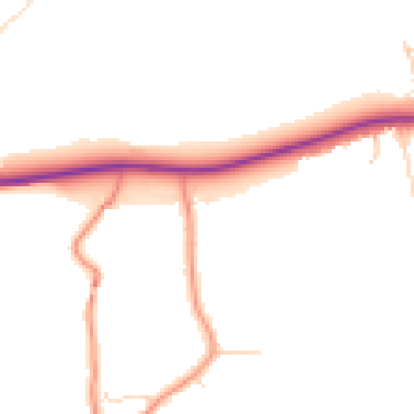
Daytime· 07:00 – 23:00
47.5dB

Everything within walking distance
Schools, transport stops and scenic spots near this property — 38 points of interest in total.
Beautiful places to visit nearby
Curated scenic spots within reach of this postcode, served by Beautifulplaces.ai. Photography and tagging come from their open dataset.
Common questions
The questions buyers, sellers and homeowners most often ask about Oak Tree Villa, Holymoor Road, Holymoorside, Chesterfield, S42 7DN. Each answer is also embedded as structured data for search engines.