Are you a property professional?Get qualified leads from motivated homeowners.
Get started3 Apple Tree Close, North Wingfield, Chesterfield, S42 5FT
EPC B
About 3 Apple Tree Close
A plain-English summary derived from public records, EPC certificates, sold prices and local data.
3 Apple Tree Close is a detached house in North Wingfield, Chesterfield, Chesterfield (S42 5FT). It has a recorded floor area of 159 m² (around 1711 sq ft). The latest certificate (March 2018) returns a high B (score 85), putting the home a stone's throw from an A rating. The recommended improvements would push it to A (score 92).
Sale prices here have outpaced Chesterfield HPI: 88% per year against 0% for the wider region. Today's modelled estimate of £381,000 is 35.1% above the 2018 sale price. Last changed hands 8 years ago, in April 2018.
Energy performance
Every EPC certificate filed against this property — current rating, recorded improvements, and where there's headroom to reach a higher band.
EPC Rating
A
B
B85
C
D
E
F
G
Main Heating
Gas
Main Fuel
Gas
Hot Water
Good
Windows
Very Good
CO2 Emissions
2.3 t/year
Occupancy
Owner Occupied
Sales history & valuation
Recorded transactions, our model's current estimate, and a quick read on what neighbouring properties have sold for.
3 Apple Tree Close changed hands twice within eighteen months — unusual for the area.
Current estimate
See how we calculated this£381,000
Modelled from EPC, postcode comparables and a sale-price growth of 88.0% per year over 1 year.
Last sold (2018)
£282,000
Growth on file: 88.0% per year over 1 year.
Sales timeline
Similar properties nearby
A handful of close matches in the same postcode area, ranked by likeness on bedrooms, type and floor area.
The neighbourhood at a glance
A condensed read of the local area. Each tile links through to the full breakdown on the Chesterfield district page.
Daytime road noise here sits well below conversation level — a quiet pocket of the postcode.
Crime
4/mo
Steady year-on-year across the wider district.
Nearest stop
0.1 km
Road noise across the postcode
Modelled day and night-time noise levels around S42 5FT from Defra's strategic mapping. The pin marks this postcode's centroid.
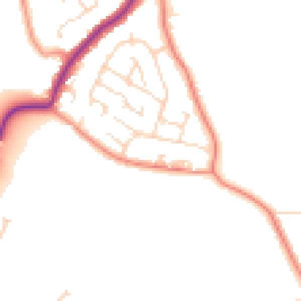
Daytime· 07:00 – 23:00
47.3dB

Everything within walking distance
Schools, transport stops and scenic spots near this property — 38 points of interest in total.
Beautiful places to visit nearby
Curated scenic spots within reach of this postcode, served by Beautifulplaces.ai. Photography and tagging come from their open dataset.
Common questions
The questions buyers, sellers and homeowners most often ask about 3 Apple Tree Close, North Wingfield, Chesterfield, S42 5FT. Each answer is also embedded as structured data for search engines.