Are you a property professional?Get qualified leads from motivated homeowners.
Get started7 Aspden Street, Bamber Bridge, Preston, PR5 6TL
3 sales on record
About 7 Aspden Street
A plain-English summary derived from public records, EPC certificates, sold prices and local data.
7 Aspden Street is a two-bedroom mid-terrace house in Bamber Bridge, Preston, Preston (PR5 6TL). It has a recorded floor area of 70 m² (around 753 sq ft), construction records dating it to 1900-1929 and council tax band A. Tenure is freehold. The latest certificate (March 2015) shows a C (score 70). The recommended improvements would push it to B (score 85). The latest certificate is from March 2015, so improvements made since then won't be reflected.
Sale prices here have outpaced Preston HPI: 4.5% per year against 0% for the wider region. Today's modelled estimate of £140,000 is 47.4% above the 2017 sale price. On a £-per-square-foot basis, the last sale (£126/sq ft) was about 18.2% below the postcode norm. On the market in December 2017 and unlisted since — roughly 8 years.
What this property has
Pulled from EPC certificates, claim submissions and our property model. Empty categories are hidden — we only show what's known.
Inside
- Bedrooms2
- Bathrooms1
- Dining roomYes
Outside
- Private garden
Energy performance
Every EPC certificate filed against this property — current rating, recorded improvements, and where there's headroom to reach a higher band.
7 Aspden Street's EPC is over a decade old — improvements since won't be reflected.
EPC Expired
This certificate is over 10 years old and is no longer valid.Expired 24 Mar 2025
Sales history & valuation
Recorded transactions, our model's current estimate, and a quick read on what neighbouring properties have sold for.
7 Aspden Street has more than doubled in price since the earliest registered sale in 1995.
Current estimate
See how we calculated this£140,000
Modelled from EPC, postcode comparables and a sale-price growth of 4.5% per year over 23 years.
Last sold (2017)
£95,000
Growth on file: 4.5% per year over 23 years.
Sales timeline
Launch offer · 33% off
The complete analysis of 7 Aspden Street, Bamber Bridge, Preston, PR5 6TL
Everything we know about this property, compiled into one in-depth, downloadable report.
Detailed AI analysis
An AI-written breakdown of everything that matters
Versus other Aspden Street homes
Four headline reads against 26 similar houses on this street, drawn from the latest EPC and Land Registry data.
Price per m²
£1,357
Street avg £1,713
Floor Area
70 m²
Street avg 73 m²
Habitable Rooms
4 rooms
Street avg 5 rooms
Similar properties nearby
A handful of close matches in the same postcode area, ranked by likeness on bedrooms, type and floor area.
The neighbourhood at a glance
A condensed read of the local area. Each tile links through to the full breakdown on the Preston district page.
Rail-style transport is unusually close for this postcode.
Crime
4/mo
Steady year-on-year across the wider district.
Nearest stop
0.0 km
Station Road — bus stop.
Road noise across the postcode
Modelled day and night-time noise levels around PR5 6TL from Defra's strategic mapping. The pin marks this postcode's centroid.
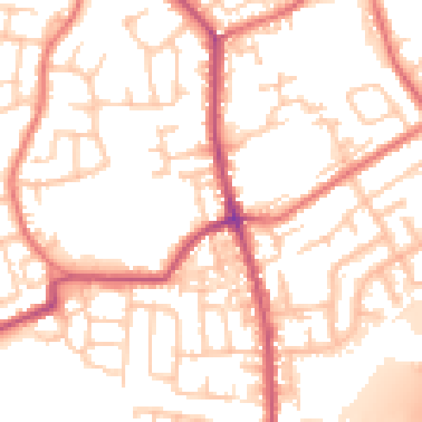
Daytime· 07:00 – 23:00
54.1dB

Everything within walking distance
Schools, transport stops and scenic spots near this property — 47 points of interest in total.
Common questions
The questions buyers, sellers and homeowners most often ask about 7 Aspden Street, Bamber Bridge, Preston, PR5 6TL. Each answer is also embedded as structured data for search engines.
