Are you a property professional?Get qualified leads from motivated homeowners.
Get started7 Leys Close, Wroxton, Banbury, OX15 6QP
About 7 Leys Close
A plain-English summary derived from public records, EPC certificates, sold prices and local data.
7 Leys Close is a semi-detached house in Wroxton, Banbury, Banbury (OX15 6QP). It has a recorded floor area of 48 m² (around 517 sq ft), construction records dating it to 1967-1975 and council tax band B. The latest certificate (September 2019) shows a D (score 59), a step below the typical UK home. The recommended improvements would lift it to B (score 85), a 2-band jump. Main heating runs on electricity.
Energy performance
Every EPC certificate filed against this property — current rating, recorded improvements, and where there's headroom to reach a higher band.
Recommended upgrades on file would lift this property by multiple EPC bands.
EPC Rating
A
B
C
D
D59
E
F
G
Main Heating
Heat Pump
Main Fuel
Electric
Hot Water
Poor
Windows
Average
CO2 Emissions
3.1 t/year
Occupancy
Rented
Sales history & valuation
Recorded transactions, our model's current estimate, and a quick read on what neighbouring properties have sold for.
7 Leys Close has no Land Registry sales on file, suggesting it has stayed in the same hands since registration began.
Current estimate
See how we calculated this£231,000
Modelled from EPC, postcode comparables.
No sales recorded with HM Land Registry
That can mean the property has never traded since the registry began publishing in 1995, was a new build that hasn't been registered yet, or is held in the same hands long-term.
Versus other Leys Close homes
Four headline reads against 10 similar houses on this street, drawn from the latest EPC and Land Registry data.
EPC Rating
59 (D)
Street avg 59 (D)
Floor Area
48 m²
Street avg 48 m²
CO₂ Emissions
3.1 t/year
Street avg 3.5 t/year
Similar properties nearby
A handful of close matches in the same postcode area, ranked by likeness on bedrooms, type and floor area.
The neighbourhood at a glance
A condensed read of the local area. Each tile links through to the full breakdown on the Banbury district page.
Daytime road noise here sits well below conversation level — a quiet pocket of the postcode.
Crime
1/mo
Steady year-on-year across the wider district.
Nearest stop
0.1 km
Road noise across the postcode
Modelled day and night-time noise levels around OX15 6QP from Defra's strategic mapping. The pin marks this postcode's centroid.
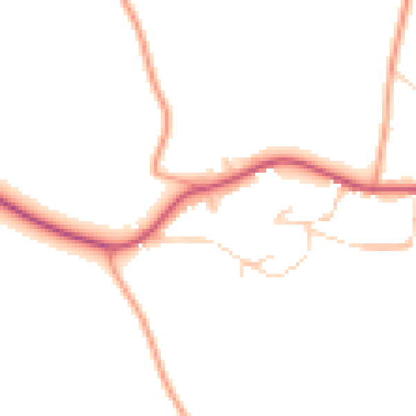
Daytime· 07:00 – 23:00
46.0dB

Everything within walking distance
Schools, transport stops and scenic spots near this property — 34 points of interest in total.
Beautiful places to visit nearby
Curated scenic spots within reach of this postcode, served by Beautifulplaces.ai. Photography and tagging come from their open dataset.
Common questions
The questions buyers, sellers and homeowners most often ask about 7 Leys Close, Wroxton, Banbury, OX15 6QP. Each answer is also embedded as structured data for search engines.