Are you a property professional?Get qualified leads from motivated homeowners.
Get started5 Broad End, Bodicote, Banbury, OX15 4QW
2 planning records
About 5 Broad End
A plain-English summary derived from public records, EPC certificates, sold prices and local data.
5 Broad End is a property in Bodicote, Banbury, Banbury (OX15 4QW). It has council tax band C.
Held since December 1995 — that's 30 years off the open market, well above the local norm. Only one transfer is on record with HM Land Registry, suggesting it has stayed in the same hands for a long time. 2 planning records sit against the property, 2 approved, 0 refused. Past consents include an extension and a porch, meaningful when judging how the property has evolved.
Energy performance
Every EPC certificate filed against this property — current rating, recorded improvements, and where there's headroom to reach a higher band.
No EPC on record
This property doesn't have an Energy Performance Certificate yet. An EPC is required to sell or let — and unlocks our automated valuation.
Planning history
Applications and permits filed against 5 Broad End, Bodicote, Banbury, OX15 4QW, sourced from the PlanIt planning register.
- Jun 2011PorchFullGranted
Extension: Side of property
Two storey side extension. Single storey rear extension and porch to front elevation
Sales history & valuation
Recorded transactions, our model's current estimate, and a quick read on what neighbouring properties have sold for.
5 Broad End has been held in the same hands since before 2000.
Last sold (1995)
£73,000
Recorded with HM Land Registry.
Sales timeline
8 December 1995Most recent
£73,000
Median price across the last 5 sales in OX15 4QW: £265,000 (2025–2016).
Nearby sales in OX15 4QW
Similar properties nearby
A handful of close matches in the same postcode area, ranked by likeness on bedrooms, type and floor area.
The neighbourhood at a glance
A condensed read of the local area. Each tile links through to the full breakdown on the Banbury district page.
Crime
1/mo
Steady year-on-year across the wider district.
Nearest stop
0.1 km
Broad Gap School Bus Stop — bus stop.
Road noise across the postcode
Modelled day and night-time noise levels around OX15 4QW from Defra's strategic mapping. The pin marks this postcode's centroid.
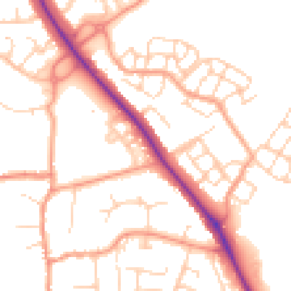
Daytime· 07:00 – 23:00
52.2dB

Everything within walking distance
Schools, transport stops and scenic spots near this property — 43 points of interest in total.
Beautiful places to visit nearby
Curated scenic spots within reach of this postcode, served by Beautifulplaces.ai. Photography and tagging come from their open dataset.
Common questions
The questions buyers, sellers and homeowners most often ask about 5 Broad End, Bodicote, Banbury, OX15 4QW. Each answer is also embedded as structured data for search engines.