Are you a property professional?Get qualified leads from motivated homeowners.
Get started13a, Hanover Road, London, NW10 3DJ
4 sales on record
About 13a
A plain-English summary derived from public records, EPC certificates, sold prices and local data.
13a is a mid-terrace house in London (NW10 3DJ). It has a recorded floor area of 67 m² (around 721 sq ft), construction records dating it to 1900-1929 and council tax band D. At 67 m² this is the smallest unit on EPC record across the building (67–99 m²). The building's EPC ratings span E to C across 5 units on file. The latest certificate (August 2016) shows a D (score 57), a step below the typical UK home. The recommended improvements would push it to C (score 78).
Sale prices here have outpaced London HPI: 9.5% per year against 0% for the wider region. Today's modelled estimate of £719,000 is 45.3% above the 2012 sale price. On a £-per-square-foot basis, the last sale (£686/sq ft) was about 59.2% above the typical sold price in the postcode. At 67 m² it sits well below the postcode median (105 m² across 17 EPCs), making it one of the more compact homes locally. Last sold in December 2012, so it's been off the market for around 13 years. Across the public record there are 4 sales, relatively high churn for a single property.
Energy performance
Every EPC certificate filed against this property — current rating, recorded improvements, and where there's headroom to reach a higher band.
EPC Rating
A
B
C
D
D57
E
F
G
Main Heating
Gas
Main Fuel
Gas
Hot Water
Good
Windows
Very Poor
CO2 Emissions
3.6 t/year
Occupancy
Rented
Sales history & valuation
Recorded transactions, our model's current estimate, and a quick read on what neighbouring properties have sold for.
13a has more than tripled in price since its earliest registered sale in 1999.
Current estimate
See how we calculated this£719,000
Modelled from EPC, postcode comparables and a sale-price growth of 9.5% per year over 13 years.
Last sold (2012)
£495,000
Growth on file: 9.5% per year over 13 years.
Sales timeline
Full property reportLaunch offer · 33% off
The complete analysis of 13a, Hanover Road, London, NW10 3DJ
Everything we know about this property, compiled into one in-depth, downloadable report.
Detailed AI analysis
Versus other Hanover Road homes
Four headline reads against 10 similar flats on this street, drawn from the latest EPC and Land Registry data.
13a is notably below the street on floor area.
Price per m²
£7,388
Street avg £8,241
Floor Area
67 m²
Street avg 81 m²
Habitable Rooms
4 rooms
Street avg 3 rooms
Similar properties nearby
A handful of close matches in the same postcode area, ranked by likeness on bedrooms, type and floor area.
The neighbourhood at a glance
A condensed read of the local area. Each tile links through to the full breakdown on the London district page.
Rail-style transport is unusually close for this postcode.
Crime
11/mo
Rising year-on-year across the wider district.
Nearest stop
0.1 km
Okehampton Road — bus stop.
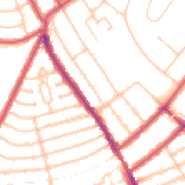
Road noise across the postcode
Modelled day and night-time noise levels around NW10 3DJ from Defra's strategic mapping. The pin marks this postcode's centroid.
Daytime· 07:00 – 23:00
50.9dB

Everything within walking distance
Schools, transport stops and scenic spots near this property — 111 points of interest in total.
Common questions
The questions buyers, sellers and homeowners most often ask about 13a, Hanover Road, London, NW10 3DJ. Each answer is also embedded as structured data for search engines.