Are you a property professional?Get qualified leads from motivated homeowners.
Get started9 Hartland Road, Camden, London, NW1 8DB
1 planning record
About 9 Hartland Road
A plain-English summary derived from public records, EPC certificates, sold prices and local data.
9 Hartland Road is a three-bedroom mid-terrace house in Camden, London, London (NW1 8DB). It has a recorded floor area of 126 m² (around 1356 sq ft), construction records dating it to 1900-1929 and council tax band F. The latest certificate (June 2021) shows a D (score 58), a step below the typical UK home. The recommended improvements would lift it to B (score 82), a 2-band jump. Other recorded features include a balcony. Period features are noted in the property record.
Sale prices here have outpaced London HPI: 6.2% per year against 0% for the wider region. On a £-per-square-foot basis, the last sale (£1,158/sq ft) was about 151.5% above the typical sold price in the postcode. One planning record on file: an extension approved in 2016. Past consents include an extension, meaningful when judging how the property has evolved. Most recent transfer: July 2024 at £1,570,000.
What this property has
Pulled from EPC certificates, claim submissions and our property model. Empty categories are hidden — we only show what's known.
Inside
- Bedrooms3
- Bathrooms2
- Dining roomYes
Outside
- Private garden
Energy performance
Every EPC certificate filed against this property — current rating, recorded improvements, and where there's headroom to reach a higher band.
Recommended upgrades on file would lift this property by multiple EPC bands.
EPC Rating
A
B
C
D
D58
E
F
G
Main Heating
Gas
Main Fuel
Gas
Hot Water
Good
Windows
Poor
CO2 Emissions
5.6 t/year
Occupancy
Owner Occupied
Planning history
Applications and permits filed against 9 Hartland Road, Camden, London, NW1 8DB, sourced from the PlanIt planning register.
- Sept 2016ExtensionFullGranted
Extension: Part single, part two storey
Erection of extensions at ground and first floor levels; installation of terrace at first floor and second floor and associated conversion of window to door.
Sales history & valuation
Recorded transactions, our model's current estimate, and a quick read on what neighbouring properties have sold for.
9 Hartland Road valuation sits well clear of the typical sold price in this postcode.
Current estimate
See how we calculated this£1,726,000
Modelled from EPC, postcode comparables and a sale-price growth of 6.2% per year over 2 years.
Last sold (2024)
£1,570,000
Growth on file: 6.2% per year over 2 years.
Sales timeline
Versus other Hartland Road homes
Four headline reads against 13 similar houses on this street, drawn from the latest EPC and Land Registry data.
Years Held for 9 Hartland Road lags the street by a wide margin.
Price per m²
£12,460
Street avg £7,948
Floor Area
126 m²
Street avg 129 m²
Habitable Rooms
6 rooms
Similar properties nearby
A handful of close matches in the same postcode area, ranked by likeness on bedrooms, type and floor area.
The neighbourhood at a glance
A condensed read of the local area. Each tile links through to the full breakdown on the London district page.
Rail-style transport is unusually close for this postcode.
Crime
18/mo
Rising year-on-year across the wider district.
Nearest stop
0.1 km
Camden Market — bus stop.
Road noise across the postcode
Modelled day and night-time noise levels around NW1 8DB from Defra's strategic mapping. The pin marks this postcode's centroid.
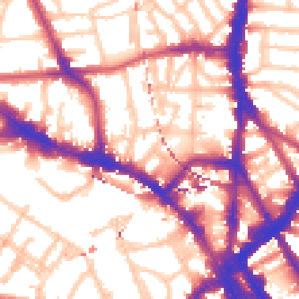
Daytime· 07:00 – 23:00
57.4dB

Everything within walking distance
Schools, transport stops and scenic spots near this property — 103 points of interest in total.
Beautiful places to visit nearby
Curated scenic spots within reach of this postcode, served by Beautifulplaces.ai. Photography and tagging come from their open dataset.
Common questions
The questions buyers, sellers and homeowners most often ask about 9 Hartland Road, Camden, London, NW1 8DB. Each answer is also embedded as structured data for search engines.