Are you a property professional?Get qualified leads from motivated homeowners.
Get started43 South Street, Oakham, LE15 6BG
3 sales on record
About 43 South Street
A plain-English summary derived from public records, EPC certificates, sold prices and local data.
43 South Street is a mid-terrace house in Oakham (LE15 6BG). It has a recorded floor area of 95 m² (around 1023 sq ft). The latest certificate (October 2019) shows a C (score 79), near the top of the C band. The rating has held steady at C across 2 certificates since September 2019. The recommended improvements would push it to B (score 89).
Sale prices here have outpaced England HPI: 13.6% per year against 0% for the wider region. Today's modelled estimate of £315,000 is 80.4% below the 2019 sale of £1,609,908, running counter to the wider postcode trend, which makes the EPC and condition history especially worth a look. On a £-per-square-foot basis, the last sale (£1,574/sq ft) was about 792.7% above the typical sold price in the postcode. 6 planning records sit against the property, 4 approved, 1 refused. Past consents include an extension, partial demolition and change of use to residential, meaningful when judging how the property has evolved. At 95 m² it's 29.3% larger than the typical home in the postcode (74 m² median across 24 EPCs). Its energy rating outperforms most of the postcode (better than 75% of similar EPCs). Sold September 2019 for £1,609,908.
Energy performance
Every EPC certificate filed against this property — current rating, recorded improvements, and where there's headroom to reach a higher band.
Current Certificate(1 of 2)
Oct 2019
EPC Rating
A
B
C
C79
D
E
F
G
Main Heating
Gas
Main Fuel
Gas
Hot Water
Good
Windows
Very Good
CO2 Emissions
2.3 t/year
Occupancy
—
Planning history
Applications and permits filed against 43 South Street, Oakham, LE15 6BG, sourced from the PlanIt planning register.
Planning history includes recorded demolition works, indicating a major rebuild phase at this address.
- Jun 2019ExtensionFullApprove
Minor material amendment of application 2017/0442/FUL (Partial demolition and conversion of existing office premises to form 4 No. apartments and erection of 2 No. dwellings to rear).
Sales history & valuation
Recorded transactions, our model's current estimate, and a quick read on what neighbouring properties have sold for.
Latest sale on 43 South Street was the highest on Land Registry record across the postcode.
Current estimate
See how we calculated this£315,000
Modelled from EPC, postcode comparables and a sale-price growth of 13.6% per year over 18 years.
Last sold (2019)
£1,609,908
Growth on file: 13.6% per year over 18 years.
Sales timeline
Versus other South Street homes
Four headline reads against 21 similar houses on this street, drawn from the latest EPC and Land Registry data.
43 South Street outperforms the street on price per m² by a wide margin.
Price per m²
£16,946
Street avg £2,110
Floor Area
95 m²
Street avg 88 m²
CO₂ Emissions
2.3 t/year
Similar properties nearby
A handful of close matches in the same postcode area, ranked by likeness on bedrooms, type and floor area.
The neighbourhood at a glance
A condensed read of the local area. Each tile links through to the full breakdown on the Oakham district page.
Rail-style transport is unusually close for this postcode.
Crime
2/mo
Steady year-on-year across the wider district.
Nearest stop
0.2 km
Bus Station — bus stop.
Road noise across the postcode
Modelled day and night-time noise levels around LE15 6BG from Defra's strategic mapping. The pin marks this postcode's centroid.
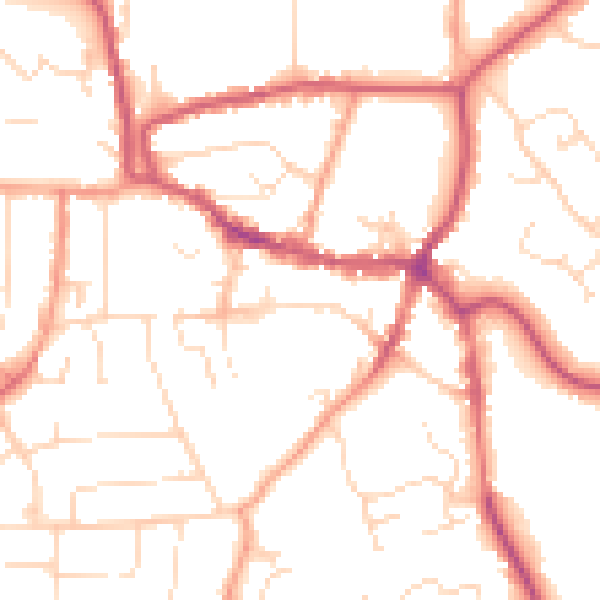
Daytime· 07:00 – 23:00
51.1dB

Everything within walking distance
Schools, transport stops and scenic spots near this property — 37 points of interest in total.
Beautiful places to visit nearby
Curated scenic spots within reach of this postcode, served by Beautifulplaces.ai. Photography and tagging come from their open dataset.
Common questions
The questions buyers, sellers and homeowners most often ask about 43 South Street, Oakham, LE15 6BG. Each answer is also embedded as structured data for search engines.