Are you a property professional?Get qualified leads from motivated homeowners.
Get started42 Antrim Street, Liverpool, L13 8DF
About 42 Antrim Street
A plain-English summary derived from public records, EPC certificates, sold prices and local data.
42 Antrim Street is a three-bedroom mid-terrace house in Liverpool (L13 8DF). It has a recorded floor area of 89 m² (around 958 sq ft), construction records dating it to 1900-1929 and council tax band A. The latest certificate (July 2017) shows a D (score 57), a step below the typical UK home. The recommended improvements would lift it to B (score 84), a 2-band jump. Period features are noted in the property record.
Untraded for 21 years, with the last transfer in March 2005. Sale prices here have outpaced Liverpool HPI: 39.4% per year against 0% for the wider region. Today's modelled estimate of £129,000 sits 65.4% above the 2005 sale of £78,000. On a £-per-square-foot basis, the last sale (£81/sq ft) was about 17.9% above the typical sold price in the postcode.
What this property has
Pulled from EPC certificates, claim submissions and our property model. Empty categories are hidden — we only show what's known.
Inside
- Bedrooms3
- Bathrooms1
- Dining roomYes
Building
- Heating system
Energy performance
Every EPC certificate filed against this property — current rating, recorded improvements, and where there's headroom to reach a higher band.
Recommended upgrades on file would lift this property by multiple EPC bands.
EPC Rating
A
B
C
D
D57
E
F
G
Main Heating
Gas
Main Fuel
Gas
Hot Water
Good
Windows
Poor
CO2 Emissions
4.8 t/year
Occupancy
Owner Occupied
Sales history & valuation
Recorded transactions, our model's current estimate, and a quick read on what neighbouring properties have sold for.
Sale price has at least doubled since 2002.
Current estimate
See how we calculated this£129,000
Modelled from EPC, postcode comparables and a sale-price growth of 39.4% per year over 2 years.
Last sold (2005)
£78,000
Growth on file: 39.4% per year over 2 years.
Sales timeline
Full property reportLaunch offer · 33% off
The complete analysis of 42 Antrim Street, Liverpool, L13 8DF
Everything we know about this property, compiled into one in-depth, downloadable report.
Detailed AI analysis
Versus other Antrim Street homes
Four headline reads against 22 similar houses on this street, drawn from the latest EPC and Land Registry data.
Years Held for 42 Antrim Street runs comfortably ahead of the street norm.
Price per m²
£876
Street avg £931
Floor Area
89 m²
Street avg 91 m²
Habitable Rooms
4 rooms
Street avg 5 rooms
Similar properties nearby
A handful of close matches in the same postcode area, ranked by likeness on bedrooms, type and floor area.
The neighbourhood at a glance
A condensed read of the local area. Each tile links through to the full breakdown on the Liverpool district page.
Crime
6/mo
Steady year-on-year across the wider district.
Nearest stop
0.4 km
Delamain Road — bus stop.
Road noise across the postcode
Modelled day and night-time noise levels around L13 8DF from Defra's strategic mapping. The pin marks this postcode's centroid.
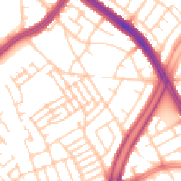
Daytime· 07:00 – 23:00
53.6dB

Everything within walking distance
Schools, transport stops and scenic spots near this property — 81 points of interest in total.
Common questions
The questions buyers, sellers and homeowners most often ask about 42 Antrim Street, Liverpool, L13 8DF. Each answer is also embedded as structured data for search engines.