Are you a property professional?Get qualified leads from motivated homeowners.
Get started22 Aberdale Road, Liverpool, L13 5YF
About 22 Aberdale Road
A plain-English summary derived from public records, EPC certificates, sold prices and local data.
22 Aberdale Road is an end-of-terrace house in Liverpool (L13 5YF). It has a recorded floor area of 101 m² (around 1087 sq ft), construction records dating it to 1930-1949 and council tax band B. The latest certificate (March 2014) shows a D (score 58), a step below the typical UK home. The rating has held steady at D across 2 certificates since November 2013. The recommended improvements would push it to C (score 80). The latest certificate is from March 2014, so improvements made since then won't be reflected.
It hasn't traded since January 2007, a hold of 19 years that's notably long for the area. That sale landed at the peak of the pre-credit-crunch market, which is a useful reference point when interpreting the price. Today's modelled estimate of £177,000 is 30.1% above the 2007 sale price. On a £-per-square-foot basis, the last sale (£125/sq ft) was about 22.9% above the typical sold price in the postcode.
Energy performance
Every EPC certificate filed against this property — current rating, recorded improvements, and where there's headroom to reach a higher band.
22 Aberdale Road's EPC is over a decade old — improvements since won't be reflected.
EPC Expired
This certificate is over 10 years old and is no longer valid.Expired 10 Mar 2024
Sales history & valuation
Recorded transactions, our model's current estimate, and a quick read on what neighbouring properties have sold for.
The latest sale landed at the peak of the pre-credit-crunch market — a high-water reference point.
Current estimate
See how we calculated this£177,000
Modelled from EPC, postcode comparables.
Last sold (2007)
£136,000
Recorded with HM Land Registry.
Sales timeline
Full property reportLaunch offer · 33% off
The complete analysis of 22 Aberdale Road, Liverpool, L13 5YF
Everything we know about this property, compiled into one in-depth, downloadable report.
Detailed AI analysis
Versus other Aberdale Road homes
Four headline reads against 21 similar houses on this street, drawn from the latest EPC and Land Registry data.
Floor Area for 22 Aberdale Road runs comfortably ahead of the street norm.
Price per m²
£1,347
Street avg £1,146
Floor Area
101 m²
Street avg 89 m²
Habitable Rooms
5 rooms
Similar properties nearby
A handful of close matches in the same postcode area, ranked by likeness on bedrooms, type and floor area.
The neighbourhood at a glance
A condensed read of the local area. Each tile links through to the full breakdown on the Liverpool district page.
Crime
6/mo
Steady year-on-year across the wider district.
Nearest stop
0.2 km
Black Horse Lane — bus stop.
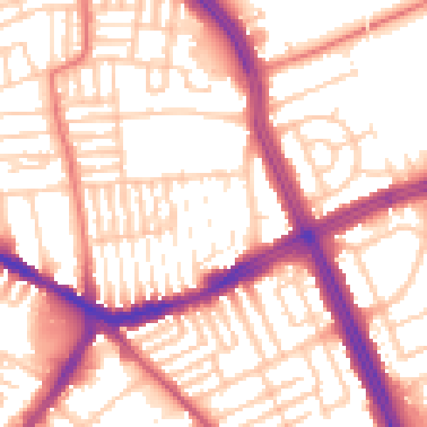
Road noise across the postcode
Modelled day and night-time noise levels around L13 5YF from Defra's strategic mapping. The pin marks this postcode's centroid.
Daytime· 07:00 – 23:00
55.5dB

Everything within walking distance
Schools, transport stops and scenic spots near this property — 85 points of interest in total.
Common questions
The questions buyers, sellers and homeowners most often ask about 22 Aberdale Road, Liverpool, L13 5YF. Each answer is also embedded as structured data for search engines.