Are you a property professional?Get qualified leads from motivated homeowners.
Get started8 Beech Close, Scole, Diss, IP21 4EH
4 sales on record
About 8 Beech Close
A plain-English summary derived from public records, EPC certificates, sold prices and local data.
8 Beech Close is a two-bedroom semi-detached house in Scole, Diss, Diss (IP21 4EH). It has a recorded floor area of 56 m² (around 602 sq ft), construction records dating it to 1976-1982 and council tax band B. The latest certificate (February 2011) shows a C (score 72). The rating has held steady at C across 2 certificates since March 2009. Between certificates, wall efficiency went from Poor to Average, roof efficiency went from Average to Very Good and lighting went from Poor to Very Good; while window efficiency dropped from Good to Average. The latest certificate is from February 2011, so improvements made since then won't be reflected.
Sale prices here have outpaced England HPI: 4.3% per year against 0% for the wider region. Today's modelled estimate of £211,000 is 20.6% above the 2019 sale price. On a £-per-square-foot basis, the last sale (£291/sq ft) was about 62% above the typical sold price in the postcode. Last sale on file: £175,000 in November 2019. Across the public record there are 4 sales, relatively high churn for a single property. At 56 m² it's 24.4% smaller than the typical home in the postcode (74 m² median across 13 EPCs). Its energy rating outperforms most of the postcode (better than 77% of similar EPCs).
What this property has
Pulled from EPC certificates, claim submissions and our property model. Empty categories are hidden — we only show what's known.
Inside
- Bedrooms2
- Dining roomYes
Outside
- Private gardenYes
- Garage
Energy performance
Every EPC certificate filed against this property — current rating, recorded improvements, and where there's headroom to reach a higher band.
8 Beech Close's EPC is over a decade old — improvements since won't be reflected.
EPC Expired
This certificate is over 10 years old and is no longer valid.Expired 05 Feb 2021
Sales history & valuation
Recorded transactions, our model's current estimate, and a quick read on what neighbouring properties have sold for.
Sale price has at least doubled since 2003.
Current estimate
See how we calculated this£211,000
Modelled from EPC, postcode comparables and a sale-price growth of 4.3% per year over 17 years.
Last sold (2019)
£175,000
Growth on file: 4.3% per year over 17 years.
Sales timeline
Versus other Beech Close homes
Four headline reads against 13 similar houses on this street, drawn from the latest EPC and Land Registry data.
Floor Area for 8 Beech Close lags the street by a wide margin.
Price per m²
£3,127
Street avg £2,483
Floor Area
56 m²
Street avg 75 m²
Habitable Rooms
3 rooms
Similar properties nearby
A handful of close matches in the same postcode area, ranked by likeness on bedrooms, type and floor area.
The neighbourhood at a glance
A condensed read of the local area. Each tile links through to the full breakdown on the Diss district page.
Crime
1/mo
Steady year-on-year across the wider district.
Nearest stop
0.8 km
Crossroads — bus stop.
Road noise across the postcode
Modelled day and night-time noise levels around IP21 4EH from Defra's strategic mapping. The pin marks this postcode's centroid.
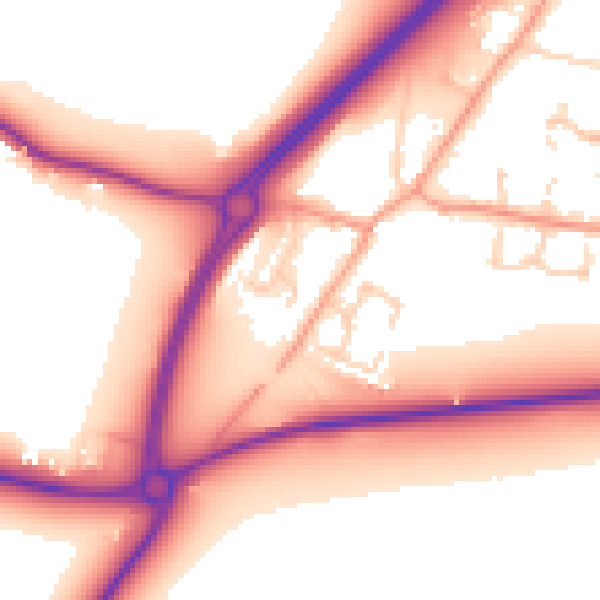
Daytime· 07:00 – 23:00
56.6dB
Everything within walking distance
Schools, transport stops and scenic spots near this property — 14 points of interest in total.
Beautiful places to visit nearby
Curated scenic spots within reach of this postcode, served by Beautifulplaces.ai. Photography and tagging come from their open dataset.
Common questions
The questions buyers, sellers and homeowners most often ask about 8 Beech Close, Scole, Diss, IP21 4EH. Each answer is also embedded as structured data for search engines.