Are you a property professional?Get qualified leads from motivated homeowners.
Get started10 Clements Close, Scole, Diss, IP21 4EG
4 sales on record
About 10 Clements Close
A plain-English summary derived from public records, EPC certificates, sold prices and local data.
10 Clements Close is a two-bedroom detached house in Scole, Diss, Diss (IP21 4EG). It has a recorded floor area of 95 m² (around 1023 sq ft), construction records dating it to 1983-1990 and council tax band D. Tenure is freehold. The latest certificate (November 2022) shows a D (score 67), on the cusp of jumping into the C band. The rating has held steady at D across 2 certificates since January 2009. Between certificates, lighting went from Very Poor to Very Good. The recommended improvements would lift it to B (score 82), a 2-band jump. The home occupies a corner plot.
Sale prices here have outpaced England HPI: 2.9% per year against 0% for the wider region. On a £-per-square-foot basis, the last sale (£342/sq ft) was about 68.7% above the typical sold price in the postcode. A recent sale: £350,000 in February 2025. Across the public record there are 4 sales, relatively high churn for a single property.
What this property has
Pulled from EPC certificates, claim submissions and our property model. Empty categories are hidden — we only show what's known.
Inside
- Bedrooms2
- Bathrooms2
Outside
- Private gardenYes
- Garage
Energy performance
Every EPC certificate filed against this property — current rating, recorded improvements, and where there's headroom to reach a higher band.
Recommended upgrades on file would lift this property by multiple EPC bands.
Current Certificate(1 of 2)
Nov 2022
EPC Rating
A
B
C
D
D67
E
F
G
Main Heating
Gas
Main Fuel
Gas
Hot Water
Good
Windows
Good
CO2 Emissions
3.8 t/year
Occupancy
Owner Occupied
Sales history & valuation
Recorded transactions, our model's current estimate, and a quick read on what neighbouring properties have sold for.
10 Clements Close valuation sits well clear of the typical sold price in this postcode.
Current estimate
See how we calculated this£357,000
Modelled from EPC, postcode comparables and a sale-price growth of 2.9% per year over 17 years.
Last sold (2025)
£350,000
Growth on file: 2.9% per year over 17 years.
Sales timeline
Versus other Clements Close homes
Four headline reads against 21 similar houses on this street, drawn from the latest EPC and Land Registry data.
On years held, 10 Clements Close runs well behind the street norm.
Price per m²
£3,684
Street avg £2,696
Floor Area
95 m²
Street avg 89 m²
Habitable Rooms
3 rooms
Similar properties nearby
A handful of close matches in the same postcode area, ranked by likeness on bedrooms, type and floor area.
The neighbourhood at a glance
A condensed read of the local area. Each tile links through to the full breakdown on the Diss district page.
Crime
1/mo
Steady year-on-year across the wider district.
Nearest stop
0.8 km
Crossroads — bus stop.
Road noise across the postcode
Modelled day and night-time noise levels around IP21 4EG from Defra's strategic mapping. The pin marks this postcode's centroid.
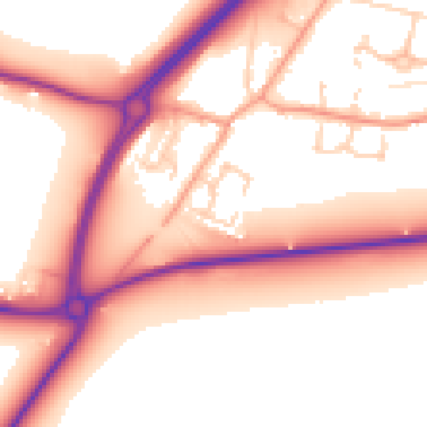
Daytime· 07:00 – 23:00
56.4dB

Everything within walking distance
Schools, transport stops and scenic spots near this property — 14 points of interest in total.
Beautiful places to visit nearby
Curated scenic spots within reach of this postcode, served by Beautifulplaces.ai. Photography and tagging come from their open dataset.
Common questions
The questions buyers, sellers and homeowners most often ask about 10 Clements Close, Scole, Diss, IP21 4EG. Each answer is also embedded as structured data for search engines.