Are you a property professional?Get qualified leads from motivated homeowners.
Get started24 The Ridgeway, Kenton, Harrow, HA3 0LL
1 planning record
About 24 The Ridgeway
A plain-English summary derived from public records, EPC certificates, sold prices and local data.
24 The Ridgeway is a detached house in Kenton, Harrow, Harrow (HA3 0LL). It has a recorded floor area of 184 m² (around 1981 sq ft), construction records dating it to 1930-1949 and council tax band G. The latest certificate (September 2012) shows an F (score 27), near the bottom of the EPC scale. The recommended improvements would lift it to C (score 77), a 3-band jump. The latest certificate is from September 2012, so improvements made since then won't be reflected.
On energy efficiency it sits in the bottom 10% of properties in this postcode — significant headroom for improvement. One planning record on file: an extension approved in 2024. Past consents include an extension, meaningful when judging how the property has evolved.
Energy performance
Every EPC certificate filed against this property — current rating, recorded improvements, and where there's headroom to reach a higher band.
24 The Ridgeway sits at the bottom of the postcode for energy efficiency — meaningful headroom to improve.
EPC Expired
This certificate is over 10 years old and is no longer valid.Expired 20 Sept 2022
Planning history
Applications and permits filed against 24 The Ridgeway, Kenton, Harrow, HA3 0LL, sourced from the PlanIt planning register.
24 The Ridgeway has an approved single-storey rear extension on the planning record.
- Mar 2024ExtensionOutlinePrior approval is not required
Extension: Single storey · Rear of property
Prior approval for a single storey rear extension to dwellinghouse, in metres: Extending beyond the rear wall of the original house - 6m Maximum height - 3m Eaves height - 2.85m
Sales history & valuation
Recorded transactions, our model's current estimate, and a quick read on what neighbouring properties have sold for.
24 The Ridgeway has no Land Registry sales on file, suggesting it has stayed in the same hands since registration began.
Current estimate
See how we calculated this£931,000
Modelled from EPC, postcode comparables.
No sales recorded with HM Land Registry
That can mean the property has never traded since the registry began publishing in 1995, was a new build that hasn't been registered yet, or is held in the same hands long-term.
Full property reportLaunch offer · 33% off
The complete analysis of 24 The Ridgeway, Kenton, Harrow, HA3 0LL
Everything we know about this property, compiled into one in-depth, downloadable report.
Detailed AI analysis
Versus other The Ridgeway homes
Four headline reads against 17 similar houses on this street, drawn from the latest EPC and Land Registry data.
24 The Ridgeway is notably below the street on epc rating.
EPC Rating
27 (F)
Street avg 56 (D)
Floor Area
184 m²
Street avg 166 m²
CO₂ Emissions
15.0 t/year
Street avg 7.8 t/year
Similar properties nearby
A handful of close matches in the same postcode area, ranked by likeness on bedrooms, type and floor area.
The neighbourhood at a glance
A condensed read of the local area. Each tile links through to the full breakdown on the Harrow district page.
Rail-style transport is unusually close for this postcode.
Crime
5/mo
Steady year-on-year across the wider district.
Nearest stop
0.3 km
Draycott Avenue/ Woodcock Hill — bus stop.
Road noise across the postcode
Modelled day and night-time noise levels around HA3 0LL from Defra's strategic mapping. The pin marks this postcode's centroid.
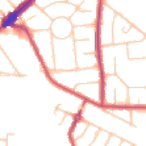
Daytime· 07:00 – 23:00
49.4dB

Everything within walking distance
Schools, transport stops and scenic spots near this property — 73 points of interest in total.
Common questions
The questions buyers, sellers and homeowners most often ask about 24 The Ridgeway, Kenton, Harrow, HA3 0LL. Each answer is also embedded as structured data for search engines.