Are you a property professional?Get qualified leads from motivated homeowners.
Get started1 Bishops View, Four Marks, Alton, GU34 5HA
1 planning record
About 1 Bishops View
A plain-English summary derived from public records, EPC certificates, sold prices and local data.
1 Bishops View is a detached house in Four Marks, Alton, Alton (GU34 5HA). It has a recorded floor area of 162 m² (around 1744 sq ft), construction records dating it to 1991-1995 and council tax band F. The latest certificate (May 2019) shows a D (score 58), a step below the typical UK home. The recommended improvements would push it to C (score 73).
Today's modelled estimate of £744,000 is 16.8% above the 2021 sale price. On a £-per-square-foot basis, the last sale (£365/sq ft) was about 46.9% above the typical sold price in the postcode. Sold December 2021 for £637,000. That sale was during the post-pandemic price surge, when transactions cleared materially above pre-2020 trend. One historical planning record sits against the property in 2004.
Energy performance
Every EPC certificate filed against this property — current rating, recorded improvements, and where there's headroom to reach a higher band.
1 Bishops View's carbon output runs well above what efficient homes in the postcode produce.
EPC Rating
A
B
C
D
D58
E
F
G
Main Heating
Gas
Main Fuel
Gas
Hot Water
Good
Windows
Good
CO2 Emissions
7.8 t/year
Occupancy
Owner Occupied
Planning history
Applications and permits filed against 1 Bishops View, Four Marks, Alton, GU34 5HA, sourced from the PlanIt planning register.
- Aug 2004ConservatoryFullPERMISSION
Extension: Rear of property
CONSERVATORY TO REAR
Sales history & valuation
Recorded transactions, our model's current estimate, and a quick read on what neighbouring properties have sold for.
The latest sale landed in the post-pandemic price surge — useful context when reading the figure.
Current estimate
See how we calculated this£744,000
Modelled from EPC, postcode comparables.
Last sold (2021)
£637,000
Recorded with HM Land Registry.
Sales timeline
Similar properties nearby
A handful of close matches in the same postcode area, ranked by likeness on bedrooms, type and floor area.
The neighbourhood at a glance
A condensed read of the local area. Each tile links through to the full breakdown on the Alton district page.
Daytime road noise here sits well below conversation level — a quiet pocket of the postcode.
Crime
2/mo
Steady year-on-year across the wider district.
Nearest stop
0.1 km
Road noise across the postcode
Modelled day and night-time noise levels around GU34 5HA from Defra's strategic mapping. The pin marks this postcode's centroid.
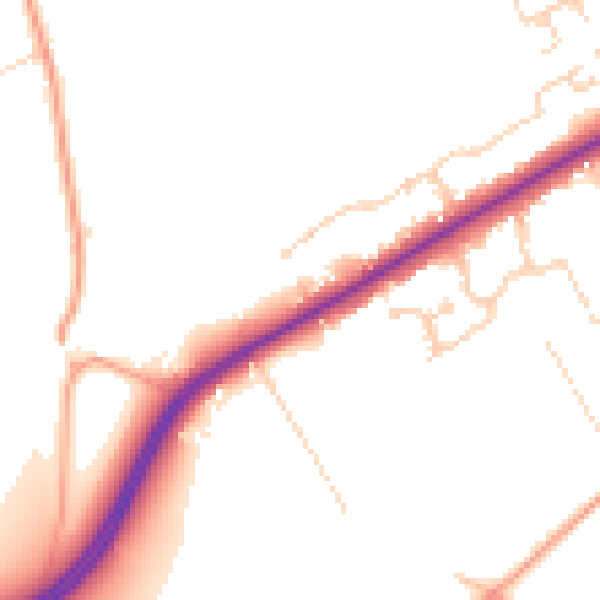
Daytime· 07:00 – 23:00
48.9dB

Everything within walking distance
Schools, transport stops and scenic spots near this property — 22 points of interest in total.
Beautiful places to visit nearby
Curated scenic spots within reach of this postcode, served by Beautifulplaces.ai. Photography and tagging come from their open dataset.
Common questions
The questions buyers, sellers and homeowners most often ask about 1 Bishops View, Four Marks, Alton, GU34 5HA. Each answer is also embedded as structured data for search engines.