Are you a property professional?Get qualified leads from motivated homeowners.
Get started12 Josend Crescent, Tirley, Gloucester, GL19 4EX
Council tax
About 12 Josend Crescent
A plain-English summary derived from public records, EPC certificates, sold prices and local data.
12 Josend Crescent is a property in Tirley, Gloucester, Gloucester (GL19 4EX). It has council tax band B.
Energy performance
Every EPC certificate filed against this property — current rating, recorded improvements, and where there's headroom to reach a higher band.
No EPC on record
This property doesn't have an Energy Performance Certificate yet. An EPC is required to sell or let — and unlocks our automated valuation.
Sales history & valuation
Recorded transactions, our model's current estimate, and a quick read on what neighbouring properties have sold for.
No sales recorded with HM Land Registry
That can mean the property has never traded since the registry began publishing in 1995, was a new build that hasn't been registered yet, or is held in the same hands long-term.
Median price across the last 3 sales in GL19 4EX: £285,000 (2018–2016).
Similar properties nearby
A handful of close matches in the same postcode area, ranked by likeness on bedrooms, type and floor area.
The neighbourhood at a glance
A condensed read of the local area. Each tile links through to the full breakdown on the Gloucester district page.
Daytime road noise here sits well below conversation level — a quiet pocket of the postcode.
Crime
2/mo
Steady year-on-year across the wider district.
Nearest stop
0.1 km
Road noise across the postcode
Modelled day and night-time noise levels around GL19 4EX from Defra's strategic mapping. The pin marks this postcode's centroid.
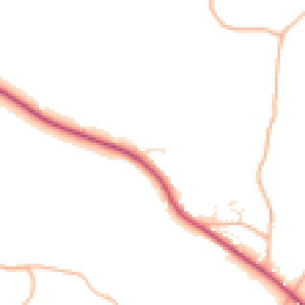
Daytime· 07:00 – 23:00
45.8dB

Everything within walking distance
Schools, transport stops and scenic spots near this property — 21 points of interest in total.
Beautiful places to visit nearby
Curated scenic spots within reach of this postcode, served by Beautifulplaces.ai. Photography and tagging come from their open dataset.
Common questions
The questions buyers, sellers and homeowners most often ask about 12 Josend Crescent, Tirley, Gloucester, GL19 4EX. Each answer is also embedded as structured data for search engines.