Are you a property professional?Get qualified leads from motivated homeowners.
Get started4 Cooper Court, Ladbrooke Crescent, Sidcup, DA14 4RU
EPC B
About 4 Cooper Court
A plain-English summary derived from public records, EPC certificates, sold prices and local data.
4 Cooper Court is a detached house in Sidcup (DA14 4RU). It has a recorded floor area of 81 m² (around 872 sq ft). The latest certificate (August 2015) returns a B (score 83), comfortably above the UK average. The latest certificate is from August 2015, so improvements made since then won't be reflected. At 81 m² this is the 3rd smallest of 4 units on EPC record in the building, where floor areas span 72–81 m². On EPC score it ranks last in the building (83 versus a best of 83).
Its energy rating outperforms most of the postcode (better than 89% of similar EPCs).
Energy performance
Every EPC certificate filed against this property — current rating, recorded improvements, and where there's headroom to reach a higher band.
4 Cooper Court's carbon output is low for the local stock.
EPC Expired
This certificate is over 10 years old and is no longer valid.Expired 12 Aug 2025
Sales history & valuation
Recorded transactions, our model's current estimate, and a quick read on what neighbouring properties have sold for.
4 Cooper Court has no Land Registry sales on file, suggesting it has stayed in the same hands since registration began.
Current estimate
See how we calculated this£344,000
Modelled from EPC, postcode comparables.
No sales recorded with HM Land Registry
That can mean the property has never traded since the registry began publishing in 1995, was a new build that hasn't been registered yet, or is held in the same hands long-term.
Launch offer · 33% off
Buying 4 Cooper Court, Ladbrooke Crescent, Sidcup, DA14 4RU? Know what you're getting into
Everything a buyer needs to know about this property, compiled into one in-depth report so there are no surprises after you offer.
Spot red flags before you buy
An AI-written breakdown of everything that matters
Versus other Ladbrooke Crescent homes
Three headline reads against 10 similar flats on this street, drawn from the latest EPC and Land Registry data.
4 Cooper Court outperforms the street on floor area by a wide margin.
EPC Rating
83 (B)
Street avg 73 (C)
Floor Area
81 m²
Street avg 71 m²
CO₂ Emissions
1.2 t/year
Similar properties nearby
A handful of close matches in the same postcode area, ranked by likeness on bedrooms, type and floor area.
The neighbourhood at a glance
A condensed read of the local area. Each tile links through to the full breakdown on the Sidcup district page.
Rail-style transport is unusually close for this postcode.
Crime
4/mo
Steady year-on-year across the wider district.
Nearest stop
0.4 km
Bexley Lane / Cleeve Park School — bus stop.
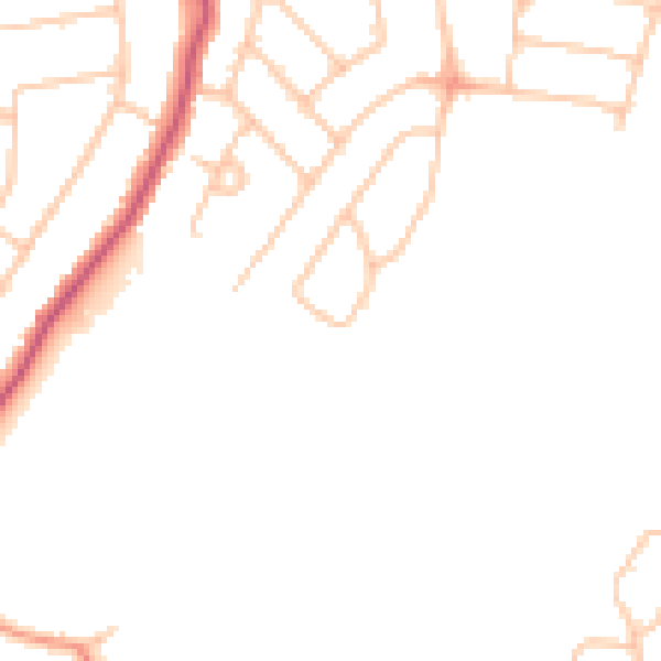
Road noise across the postcode
Modelled day and night-time noise levels around DA14 4RU from Defra's strategic mapping. The pin marks this postcode's centroid.
Daytime· 07:00 – 23:00
46.5dB

Everything within walking distance
Schools, transport stops and scenic spots near this property — 54 points of interest in total.
Common questions
The questions buyers, sellers and homeowners most often ask about 4 Cooper Court, Ladbrooke Crescent, Sidcup, DA14 4RU. Each answer is also embedded as structured data for search engines.
