Are you a property professional?Get qualified leads from motivated homeowners.
Get started74a, Hatherley Road, Sidcup, DA14 4AJ
About 74a
A plain-English summary derived from public records, EPC certificates, sold prices and local data.
74a is a property in Sidcup (DA14 4AJ). It has a recorded floor area of 47 m² (around 506 sq ft), construction records dating it to 1900-1929 and council tax band B. At 47 m² this is the 4th smallest of 22 units on EPC record in the building, where floor areas span 41–172 m². The building's EPC ratings span E to C across 22 units on file. The latest certificate (August 2025) shows a D (score 64), on the cusp of jumping into the C band. The recommended improvements would push it to C (score 73).
It hasn't traded since July 1998, a hold of 28 years that's notably long for the area. Only one transfer is on record with HM Land Registry, suggesting it has stayed in the same hands for a long time. Today's modelled estimate of £215,000 sits 367.4% above the 1998 sale of £46,000. On a £-per-square-foot basis, the last sale (£91/sq ft) was about 65.5% below the postcode norm.
Energy performance
Every EPC certificate filed against this property — current rating, recorded improvements, and where there's headroom to reach a higher band.
EPC Rating
A
B
C
D
D64
E
F
G
Main Heating
Gas
Main Fuel
Gas
Hot Water
Good
Windows
Average
CO2 Emissions
2.3 t/year
Occupancy
Rented
Sales history & valuation
Recorded transactions, our model's current estimate, and a quick read on what neighbouring properties have sold for.
74a's modelled value sits at over four times its earliest registered sale price (1998).
Current estimate
See how we calculated this£215,000
Modelled from EPC, postcode comparables.
Last sold (1998)
£46,000
Recorded with HM Land Registry.
Sales timeline
Launch offer · 33% off
Buying 74a, Hatherley Road, Sidcup, DA14 4AJ? Know what you're getting into
Everything a buyer needs to know about this property, compiled into one in-depth report so there are no surprises after you offer.
Spot red flags before you buy
An AI-written breakdown of everything that matters
Versus other Hatherley Road homes
Four headline reads against 18 similar flats on this street, drawn from the latest EPC and Land Registry data.
74a is notably below the street on price per m².
Price per m²
£979
Street avg £3,458
Floor Area
47 m²
Street avg 51 m²
Habitable Rooms
2 rooms
Street avg 3 rooms
Similar properties nearby
A handful of close matches in the same postcode area, ranked by likeness on bedrooms, type and floor area.
The neighbourhood at a glance
A condensed read of the local area. Each tile links through to the full breakdown on the Sidcup district page.
Rail-style transport is unusually close for this postcode.
Crime
4/mo
Steady year-on-year across the wider district.
Nearest stop
0.2 km
Hatherley Crescent / Sidcup Station — bus stop.
Road noise across the postcode
Modelled day and night-time noise levels around DA14 4AJ from Defra's strategic mapping. The pin marks this postcode's centroid.
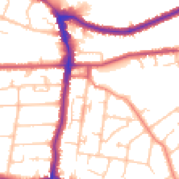
Daytime· 07:00 – 23:00
52.2dB

Everything within walking distance
Schools, transport stops and scenic spots near this property — 61 points of interest in total.
Common questions
The questions buyers, sellers and homeowners most often ask about 74a, Hatherley Road, Sidcup, DA14 4AJ. Each answer is also embedded as structured data for search engines.
