Are you a property professional?Get qualified leads from motivated homeowners.
Get startedBeech House, Flat 8, 67 Rayleigh Road, Hutton, Brentwood, CM13 1AT
About Beech House
A plain-English summary derived from public records, EPC certificates, sold prices and local data.
Beech House is a two-bedroom end-of-terrace house in Hutton, Brentwood, Brentwood (CM13 1AT). It has a recorded floor area of 71 m² (around 764 sq ft), construction records dating it to 1900-1929 and council tax band E. At 71 m² this is the 4th smallest of 8 units on EPC record in Beech House, where floor areas span 61–89 m². The building's EPC ratings span E to C, with this unit at the top. On EPC score it ranks first in the building (73 versus a worst of 47). The home occupies a cul-de-sac position. The latest certificate (October 2019) shows a C (score 73). When first surveyed in October 2009 the rating was E, the property has climbed 2 bands since. Between certificates, wall efficiency went from Very Poor to Good, roof efficiency went from Very Poor to Good and lighting went from Poor to Average.
It hasn't traded since September 2001, a hold of 25 years that's notably long for the area. Sale prices here have outpaced Brentwood HPI: 18.6% per year against 0% for the wider region. Today's modelled estimate of £389,000 sits 118.5% above the 2001 sale of £178,000. On energy efficiency it sits in the top 10% of properties in this postcode.
What this property has
Pulled from EPC certificates, claim submissions and our property model. Empty categories are hidden — we only show what's known.
Inside
- Bedrooms2
- Bathrooms1
Outside
- Cul-de-sacYes
Building
Energy performance
Every EPC certificate filed against this property — current rating, recorded improvements, and where there's headroom to reach a higher band.
Beech House ranks among the most efficient homes in the postcode for energy use.
Current Certificate(1 of 3)
Oct 2019
EPC Rating
A
B
C
C73
D
E
F
G
Main Heating
Gas
Main Fuel
Gas
Hot Water
Good
Windows
Very Poor
CO2 Emissions
2.3 t/year
Occupancy
Rented
Sales history & valuation
Recorded transactions, our model's current estimate, and a quick read on what neighbouring properties have sold for.
Beech House has more than doubled in price since the earliest registered sale in 1997.
Current estimate
See how we calculated this£389,000
Modelled from EPC, postcode comparables and a sale-price growth of 18.6% per year over 4 years.
Last sold (2001)
£178,000
Growth on file: 18.6% per year over 4 years.
Sales timeline
Versus other Rayleigh Road homes
Four headline reads against 7 similar flats on this street, drawn from the latest EPC and Land Registry data.
Beech House is notably below the street on price per m².
Price per m²
£2,507
Street avg £4,269
Floor Area
71 m²
Street avg 77 m²
Habitable Rooms
3 rooms
Street avg 3 rooms
Similar properties nearby
A handful of close matches in the same postcode area, ranked by likeness on bedrooms, type and floor area.
The neighbourhood at a glance
A condensed read of the local area. Each tile links through to the full breakdown on the Brentwood district page.
Rail-style transport is unusually close for this postcode.
Crime
4/mo
Steady year-on-year across the wider district.
Nearest stop
0.1 km
Poplar Drive — bus stop.
Road noise across the postcode
Modelled day and night-time noise levels around CM13 1AT from Defra's strategic mapping. The pin marks this postcode's centroid.
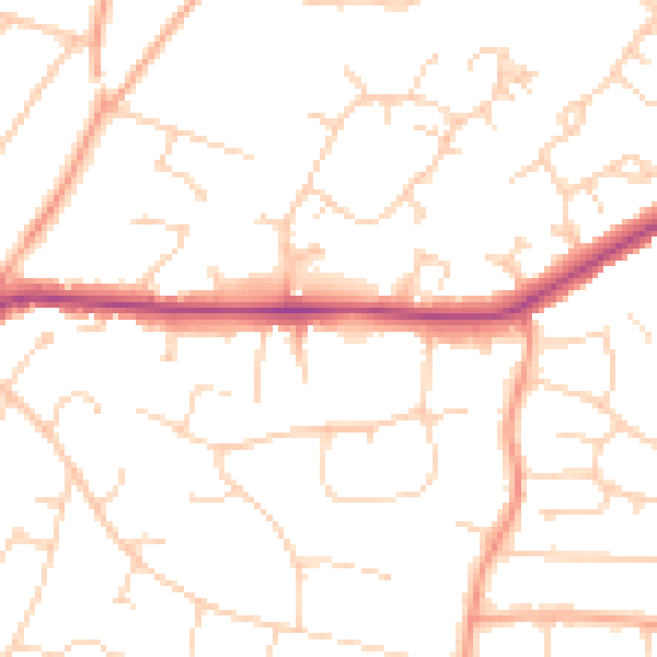
Daytime· 07:00 – 23:00
49.7dB

Everything within walking distance
Schools, transport stops and scenic spots near this property — 45 points of interest in total.
Beautiful places to visit nearby
Curated scenic spots within reach of this postcode, served by Beautifulplaces.ai. Photography and tagging come from their open dataset.
Common questions
The questions buyers, sellers and homeowners most often ask about Beech House, Flat 8, 67 Rayleigh Road, Hutton, Brentwood, CM13 1AT. Each answer is also embedded as structured data for search engines.