Are you a property professional?Get qualified leads from motivated homeowners.
Get started5 Bromfield Walk, Emersons Green, Bristol, BS16 7AW
3 sales on record
About 5 Bromfield Walk
A plain-English summary derived from public records, EPC certificates, sold prices and local data.
5 Bromfield Walk is a three-bedroom property in Emersons Green, Bristol, Bristol (BS16 7AW). It has council tax band D.
Untraded for 19 years, with the last transfer in September 2007. That sale landed at the peak of the pre-credit-crunch market, which is a useful reference point when interpreting the price. Sale prices here have outpaced England HPI: 12% per year against 0% for the wider region. One planning record on file: an extension approved in 2019. Past consents include an extension and partial demolition, meaningful when judging how the property has evolved.
What this property has
Pulled from EPC certificates, claim submissions and our property model. Empty categories are hidden — we only show what's known.
Inside
- Bedrooms3
- Dining roomYes
Outside
- Private gardenrear
- Garage
Energy performance
Every EPC certificate filed against this property — current rating, recorded improvements, and where there's headroom to reach a higher band.
No EPC on record
This property doesn't have an Energy Performance Certificate yet. An EPC is required to sell or let — and unlocks our automated valuation.
Planning history
Applications and permits filed against 5 Bromfield Walk, Emersons Green, Bristol, BS16 7AW, sourced from the PlanIt planning register.
Planning history includes recorded demolition works, indicating a major rebuild phase at this address.
- May 2019DemolitionFullApprove with Conditions
Sales history & valuation
Recorded transactions, our model's current estimate, and a quick read on what neighbouring properties have sold for.
5 Bromfield Walk has more than tripled in price since its earliest registered sale in 1997.
Last sold (2007)
£227,500
Growth on file: 12.0% per year over 11 years.
Sales timeline
28 September 2007Most recent
£227,500
+23.0%over 2 years
Full property reportLaunch offer · 33% off
The complete analysis of 5 Bromfield Walk, Emersons Green, Bristol, BS16 7AW
Everything we know about this property, compiled into one in-depth, downloadable report.
Detailed AI analysis
Similar properties nearby
A handful of close matches in the same postcode area, ranked by likeness on bedrooms, type and floor area.
The neighbourhood at a glance
A condensed read of the local area. Each tile links through to the full breakdown on the Bristol district page.
Reported crime in the wider district is trending notably upward year-on-year.
Crime
5/mo
Rising year-on-year across the wider district.
Nearest stop
0.1 km
Bromfield Walk — bus stop.
Road noise across the postcode
Modelled day and night-time noise levels around BS16 7AW from Defra's strategic mapping. The pin marks this postcode's centroid.
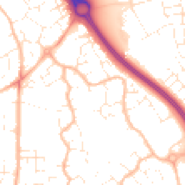
Daytime· 07:00 – 23:00
51.9dB

Everything within walking distance
Schools, transport stops and scenic spots near this property — 49 points of interest in total.
Common questions
The questions buyers, sellers and homeowners most often ask about 5 Bromfield Walk, Emersons Green, Bristol, BS16 7AW. Each answer is also embedded as structured data for search engines.