Are you a property professional?Get qualified leads from motivated homeowners.
Get started1 Corhampton Road, Bournemouth, BH6 5NU
About 1 Corhampton Road
A plain-English summary derived from public records, EPC certificates, sold prices and local data.
1 Corhampton Road is a six-bedroom semi-detached house in Bournemouth (BH6 5NU). It has a recorded floor area of 195 m² (around 2099 sq ft), construction records dating it to 1900-1929 and council tax band D. The latest certificate (February 2020) shows a D (score 56), a step below the typical UK home.
At 195 m² the property is well over the postcode median (117 m² across 25 EPCs), placing it in the larger end of the local stock. 6 bedrooms is on the larger side for this postcode, where 4 is the typical count. Today's modelled estimate of £521,000 is 42.7% above the 2020 sale price. Sold August 2020 for £365,000.
What this property has
Pulled from EPC certificates, claim submissions and our property model. Empty categories are hidden — we only show what's known.
Inside
- Bedrooms6
- Bathrooms2
Outside
- GarageYes
Energy performance
Every EPC certificate filed against this property — current rating, recorded improvements, and where there's headroom to reach a higher band.
1 Corhampton Road's carbon output runs well above what efficient homes in the postcode produce.
EPC Rating
A
B
C
D
D56
E
F
G
Main Heating
Gas
Main Fuel
Gas
Hot Water
Good
Windows
Average
CO2 Emissions
8.9 t/year
Occupancy
Owner Occupied
Sales history & valuation
Recorded transactions, our model's current estimate, and a quick read on what neighbouring properties have sold for.
The latest sale landed in the post-pandemic price surge — useful context when reading the figure.
Current estimate
See how we calculated this£521,000
Modelled from EPC, postcode comparables.
Last sold (2020)
£365,000
Recorded with HM Land Registry.
Sales timeline
Launch offer · 33% off
The complete analysis of 1 Corhampton Road, Bournemouth, BH6 5NU
Everything we know about this property, compiled into one in-depth, downloadable report.
Detailed AI analysis
An AI-written breakdown of everything that matters
Versus other Corhampton Road homes
Four headline reads against 20 similar houses on this street, drawn from the latest EPC and Land Registry data.
On floor area, 1 Corhampton Road stands well clear of the street.
Price per m²
£1,872
Street avg £2,769
Floor Area
195 m²
Street avg 113 m²
Habitable Rooms
9 rooms
Similar properties nearby
A handful of close matches in the same postcode area, ranked by likeness on bedrooms, type and floor area.
The neighbourhood at a glance
A condensed read of the local area. Each tile links through to the full breakdown on the Bournemouth district page.
Rail-style transport is unusually close for this postcode.
Crime
3/mo
Steady year-on-year across the wider district.
Nearest stop
0.2 km
Harewood Avenue — bus stop.
Road noise across the postcode
Modelled day and night-time noise levels around BH6 5NU from Defra's strategic mapping. The pin marks this postcode's centroid.
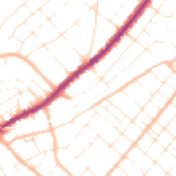
Daytime· 07:00 – 23:00
49.8dB

Everything within walking distance
Schools, transport stops and scenic spots near this property — 51 points of interest in total.
Common questions
The questions buyers, sellers and homeowners most often ask about 1 Corhampton Road, Bournemouth, BH6 5NU. Each answer is also embedded as structured data for search engines.
